Findings from a Real-Time Product Evaluation over GLD CWA

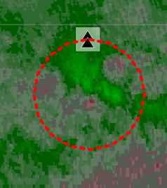
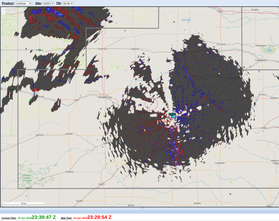
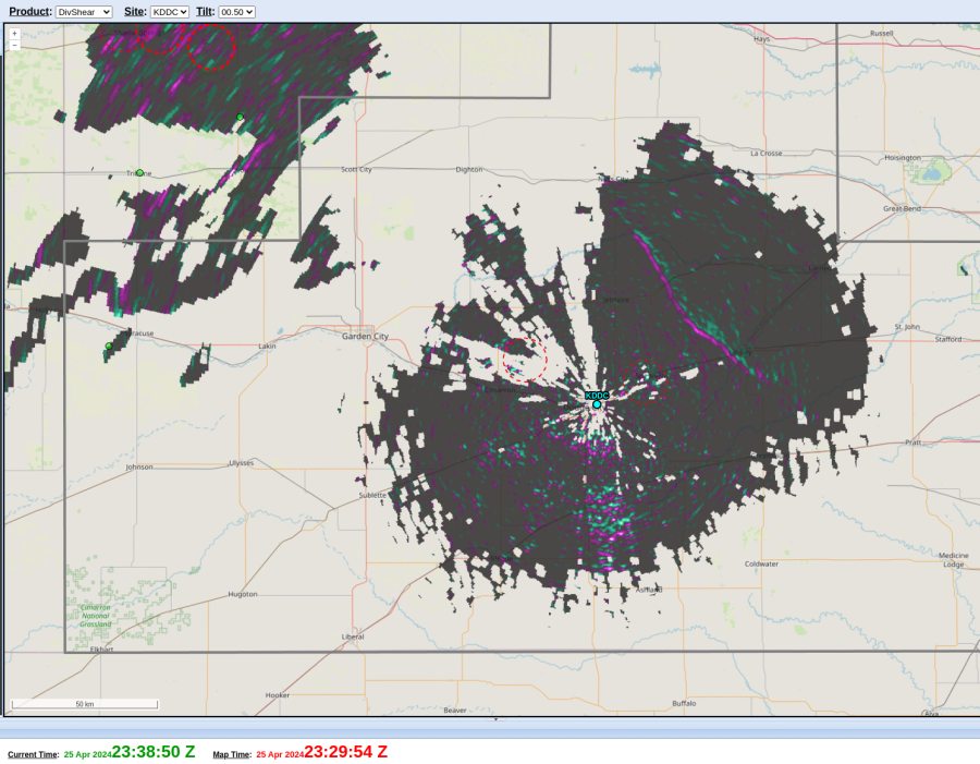
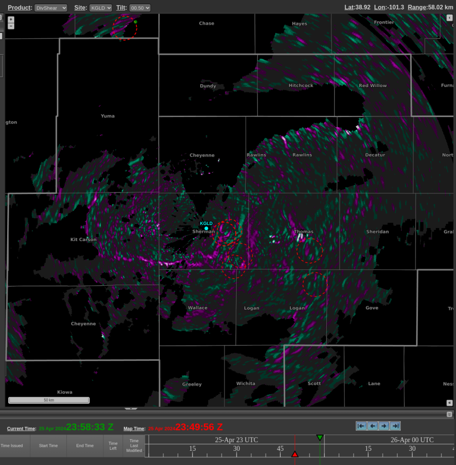
Here are some interesting examples from the perspective of northwest KS on April 25, 2024. This first example shows two boundaries southwest of the radar. The east-west oriented boundary shows up in DivShear, while the SW-NE oriented boundary does not really show up in DivShear. Radar velocity (not pictured) was showing 50-70 knots north of the northern boundary, while the velocity was not as strong on either side of the SW-NE oriented boundary.
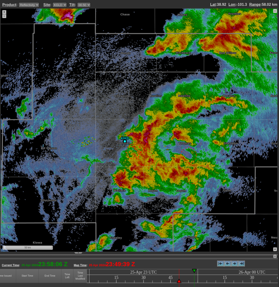
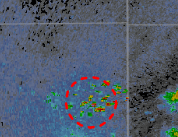
A reflectivity plot at 2349z on Apr 25, 2024.
A DivShear plot from 2349z at 25 Apr, 2024.

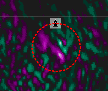
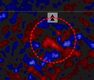
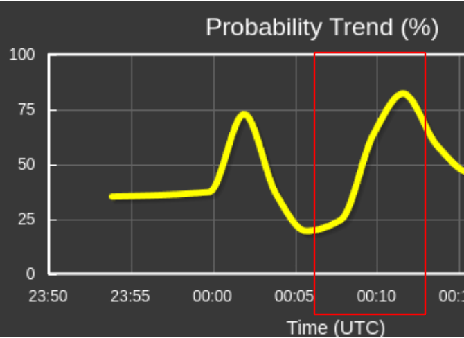
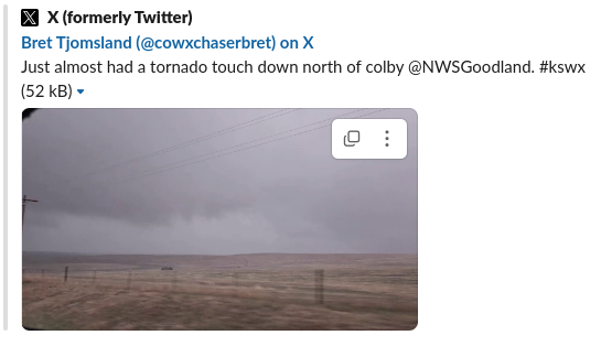
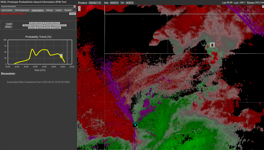
This circulation spun up quickly, but the TORP probs seemed to respond in kind, showing a sharp increase to near 70%. The circulation weakened briefly in subsequent scans (not pictured) before tightening again. A storm chaser reported there was “almost a tornado touchdown” north of Colby, KS around 0015z. Mesoanalysis (not pictured) seemed to suggest that this storm may have been north of a boundary, and perhaps lacked sufficient low-level instability for tornadogenesis.
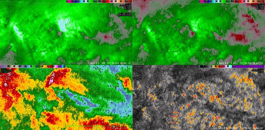
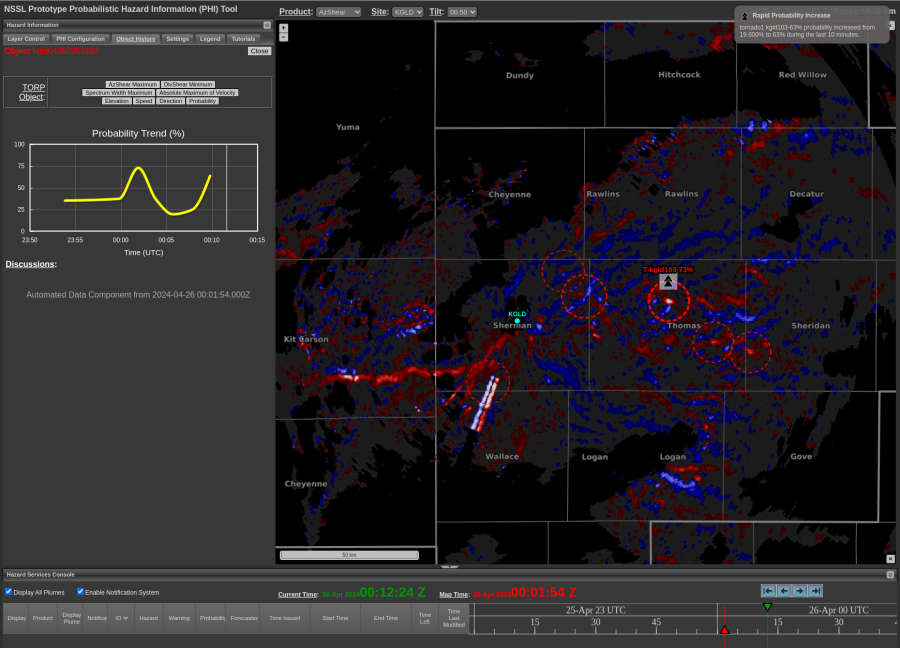
An AWIPS 4-Panel with SRM, V, Z, and SW at 0001z on Apr 26, 2024.
AzShear plot at 0001z on Apr 26 2024

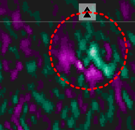
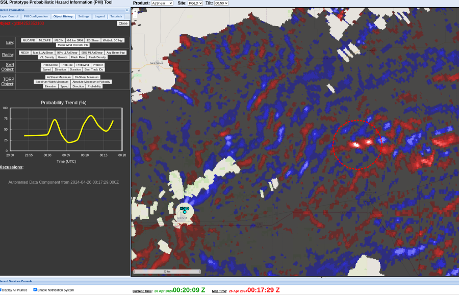
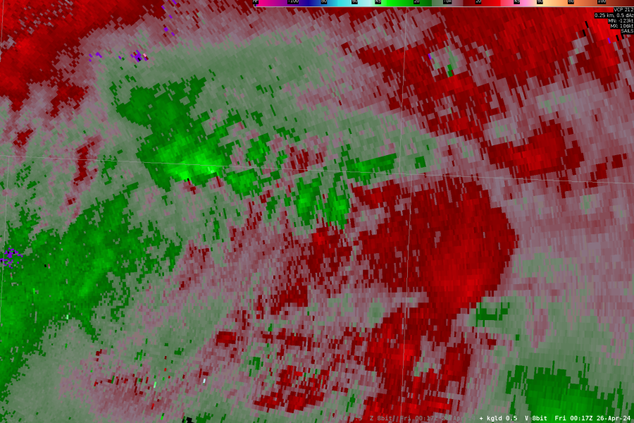
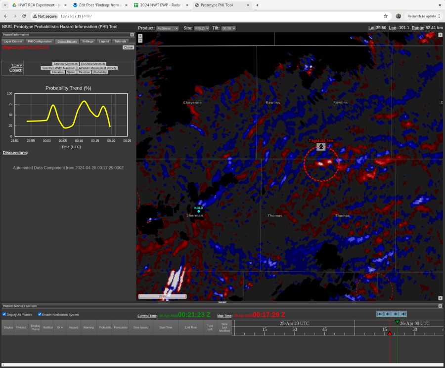
At 0017z, there appeared to be two circulations – shown below in both velocity products and AzShear:
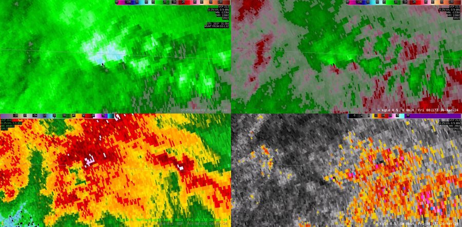
AWIPS 4-Panel at 0017z on Apr 26 2024
AzShear Plot at 0017z on Apr 26 2024

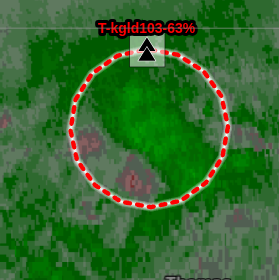
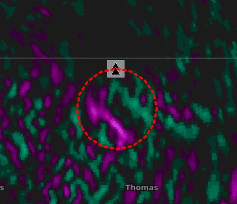
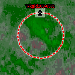
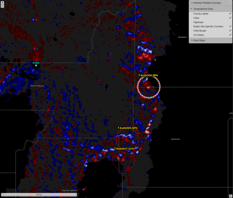
Here is an example that caught my eye where beam blockage was significantly impacting the velocity field (not pictured) and resulting in sharp columns of alternating AzShear minima/maxima. However, TORP was NOT creating detections along these areas, even after turning off all of the auto filters.
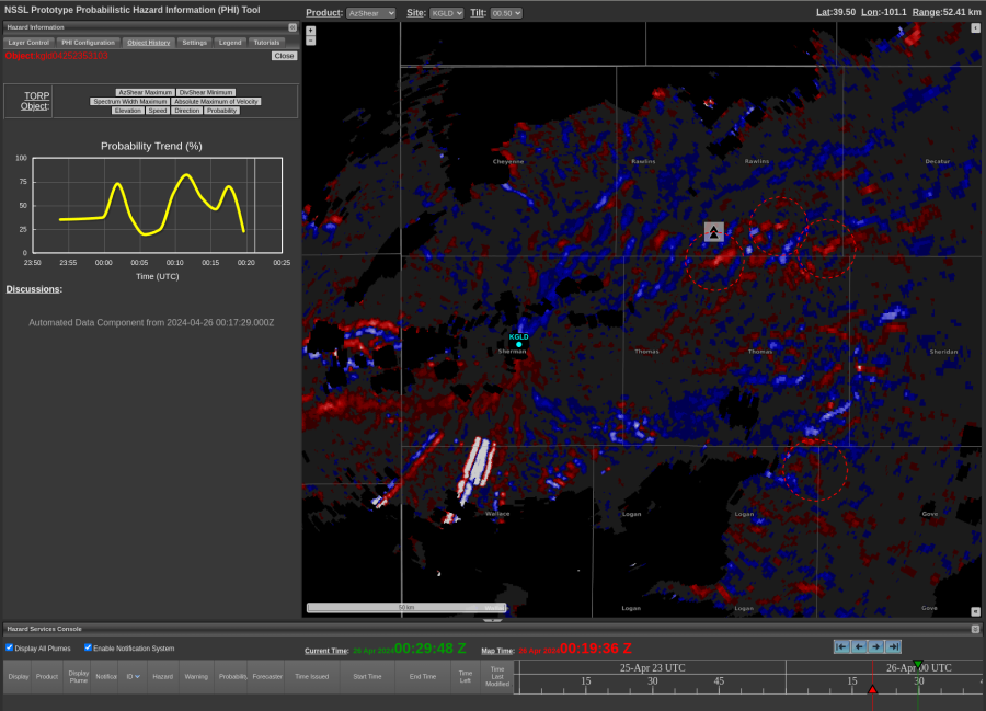
AzShear plot at 0019z on Apr 26 2024.

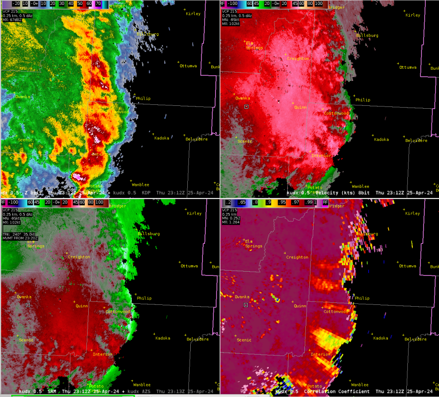
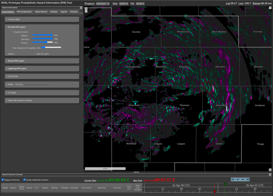
Here is a look at how the DivShear field appeared along a line of storms which had a tightening reflectivity gradient. Images were from 0057z on Apr 26 2024:
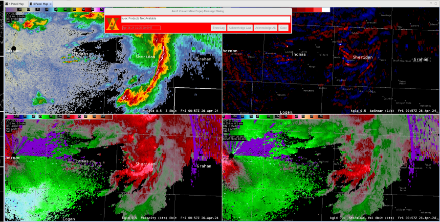
AWIPS 4 Panel with Z, AzShear, V and SRM.
DivShear plot at the same time as the AWIPS 4-Panel pictured above.

-Orange Lightning
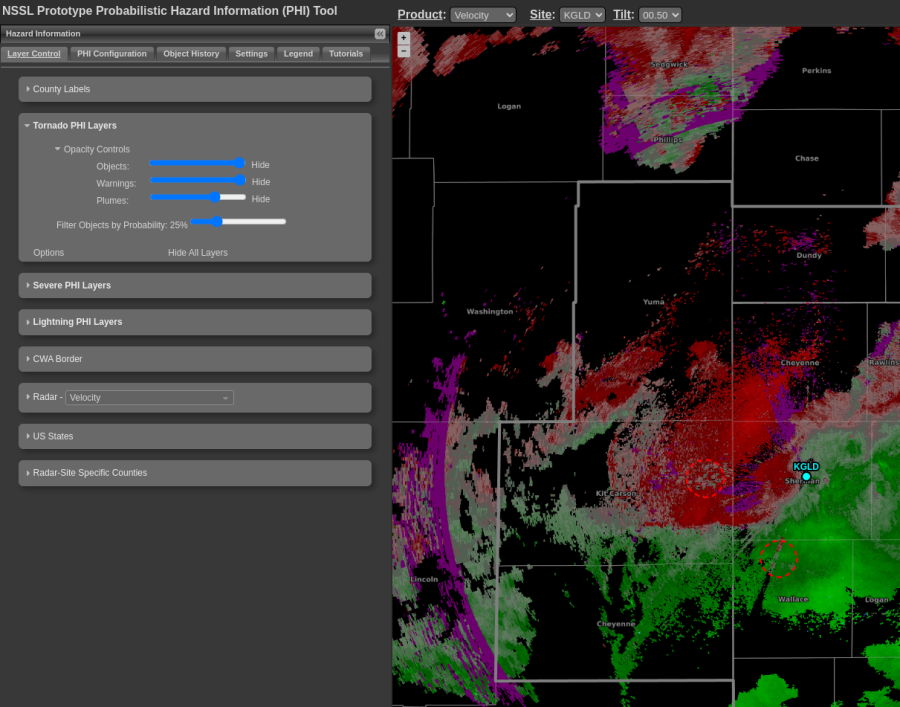
Did Torp Have a False Alarm?

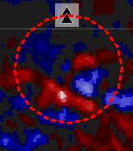
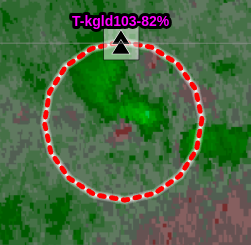
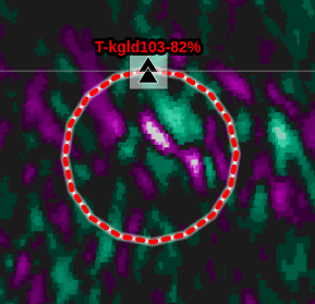
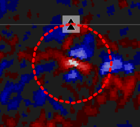
At 0005 UTC a weak velocity signature was evident on base velocity and DivShear showed a convergent signal.

Two minutes later at 0007 UTC, the velocity looked a little better but remained weak while the DivShear began showing a much better signal while AzShear began showing a signal but not as strong as the DivShear.


Another two minutes later at 0009 UTC, a weak velocity couplet developed while DivShear was beginning to develop that “cloverleaf” look and AzShear continued to increase.


By 0011 UTC, a stronger velocity couplet was evident with near gate to gate values, and both DivShear and AzShear showed very nice signatures. These are all factors indicating the potential for tornadic development and the AzShear and to a greater degree DivShear (picking up on the development a bit earlier) did a good job in this example despite relatively weak velocity couplet.


The Torp during this time frame also showed a significant increase from below 25% to up to 82% during this 5 min period.


Given all of this information, one would feel pretty confident in going with a tornado warning with the DivShear and AzShear products adding confidence. However, looking at the environment, a backdoor cold front pushed southeastward through this area about an hour earlier and surface temps dropped into the 50s with northeast winds stabilized the near surface layer and prevented anything from happening with this storm, although there was a storm report mentioning an almost tornado touchdown in this area.  So this brings the question about whether this was a Torp false alarm or not. It appeared to work as expected and likely would have been correct if the front hadn’t moved through.  It does give confidence that these new products bring value to the warning forecaster and would be beneficial to operations.

Flash

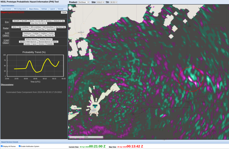
AzShear & DivShear picking up on potential brief spinup

Spotter reported that there was nearly a tornado (X report), in a cell near Colby, KS.

AzShear picked up on this area, and DivShear was highlighting on it a couple of brief scans before.

KGLD velocity also indicated two brief potential couplets (just left of center in image).

As warning operator, I would have issued a TOR around 00:17z.

UPDATE: Further analysis indicates this cell was just on the north side of the boundary.


-Oppenheimer


Torp Filters doing a good job with wind farms in northwest KS

A wind farm is located west of the GLD radar and is evident on the Reflectivity image. When checking on the “Display Aggressive Filtered Objects” there is a persistent Torp object identified over the wind farm, but turning this off removes this misidentified object which is good because it means the filter is doing what it is intended to do.

Flash

Torp Increasing as supercell structure improves

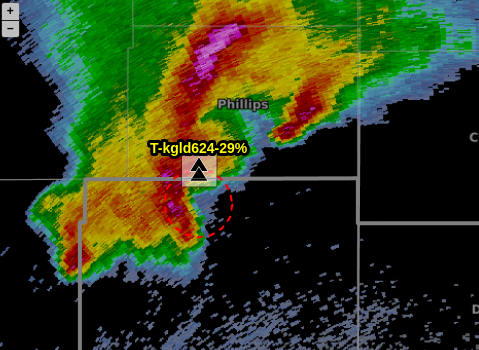
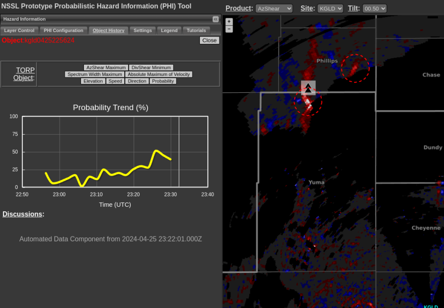
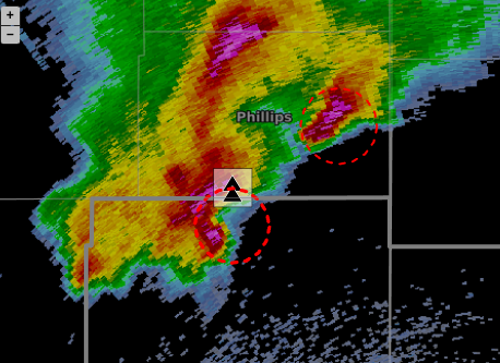
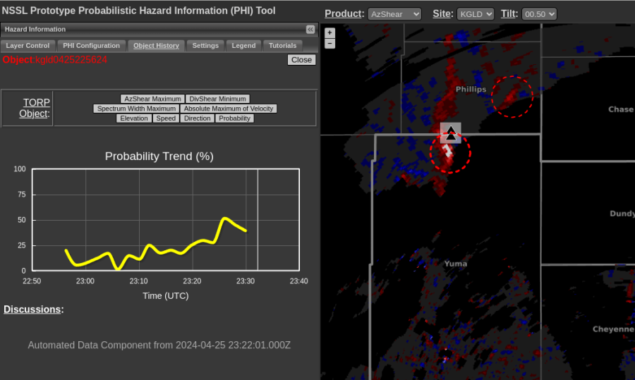
A storm northwest of Goodland had a Torp object identified on it around 29% at 2323 UTC but then the next volume scan jumped to over 50% at 2326 UTC as the storm began showing a more prominent hook and AzShear values increased as well. Again the trend charts are very useful for keeping track of storm intensity history.

Flash


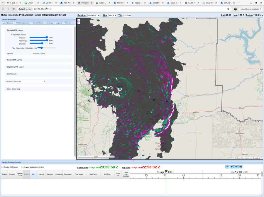
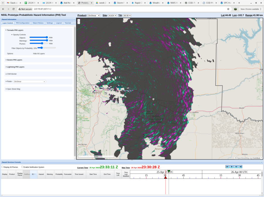
2253Z – 2330Z DivShear Evolution

Noticed a band of high negative DivShear along the line of storms where several LSRs of 59mph, 60mph, and 63mph winds were reported. This signal decreased as the line pushed east, and we have received no LSRs since then. Base products corroborate this too, with generally decreasing velocities and a weakening reflectivity gradient. -Sidney Crosby


Torp Trends on Real-Time Data

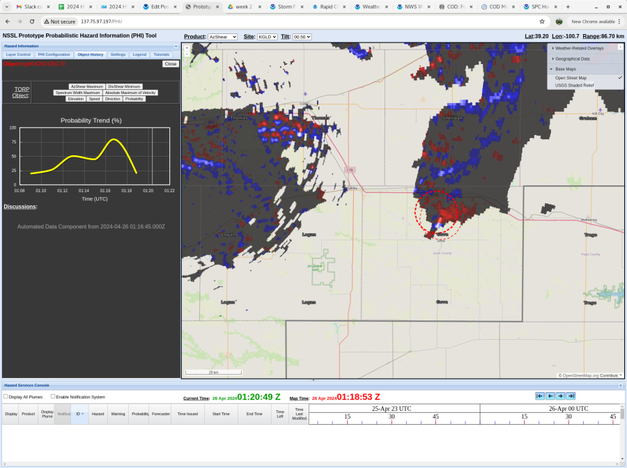
Despite some Cave issues at the start of our real-time case, looking at the Torp on the Phi Tool, there was a storm that had an object identified with a history and it was encouraging to see the values drop off significantly as the velocity data was weakening as well.

Flash