Last week’s NWS Flood Safety Awareness Week brought attention to the NOAA/NWS/USGS prototype Debris Flow Warning System experiment held for the past four years in California. The project is focused on helping forecasters improve flash flood and debris flow warnings in areas damaged by wild fires by providing more detailed measurements of rainfall.
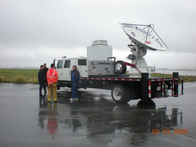
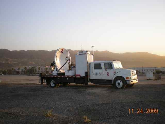
NSSL’s SMART-R team has deployed the radar near the target burn area each winter to supply real-time close-up radar data during rain events. The radar operated seven days and at the Santa Barbara airport to scan the Gap and Tea Fire burn areas. The local NWS network radar beam is blocked by terrain in these areas causing a void in the data
Even though it was another low precipitation winter for coastal Southern California, the NOAA NWS in Los Angeles/Oxnard, California reported the SMART-R provided valuable information. “In one case the SMART-R helped us question the one-hour rainfall estimate data seen on another local radar,” said Eric Boldt, Warning Coordination Meteorologist NWS Los Angeles/Oxnard.
The SMART-Radar and team returned to NSSL at the end of February.
Background:
Landslides in the U.S. result in an estimated 25-50 deaths and damages between $1B and $3B annually. Areas damaged by wildfires are particularly susceptible to flash floods and debris flow during rainstorms. Debris flows are linked with precipitation therefore are more predictable than most other types of landslides. The weather conditions that trigger them can be the same as those monitored for flash flood warnings.
An article was published in Bulletin of the American Meteorological Society in December 2008 on the evaluation of the prototype debris-flow warning system in southern California. The report indicated that small, portable radars can augment observations from the fixed—site operational radar network with highly accurate, finer-scale estimates of precipitation.


