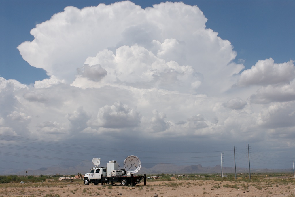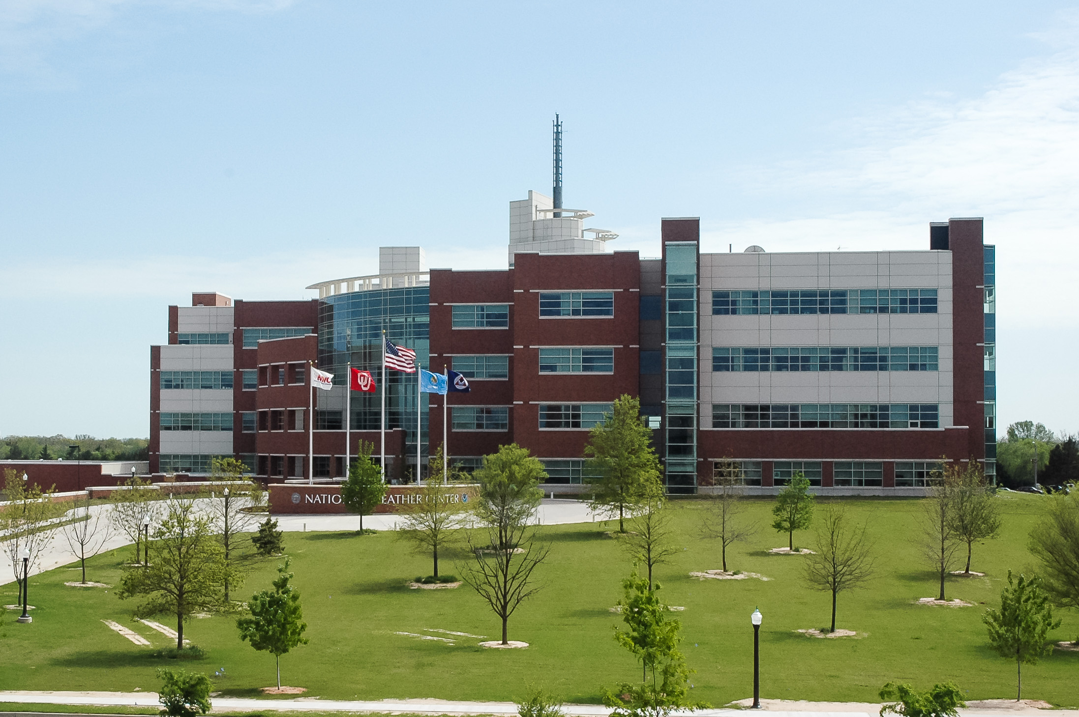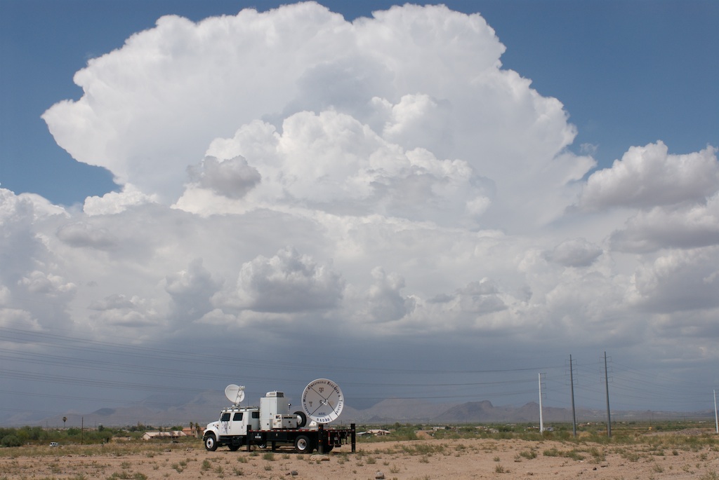
A team of NSSL scientists operated NOAA NSSL’s mobile X-band dual-polarized radar (NO-XP) in Colorado through September 20 to collect data and analyze storm characteristics in the Gunnison river basin. The National Weather Service radar servicing the Gunnison area is located in Grand Junction, CO at 9991 feet, with 12,000 foot mountain peaks causing beam blockage at lower elevations to the southeast around the Gunnison area. The high-resolution data sets will be used to explore ways to enhance capabilities at the Grand Junction National Weather Service Forecast Office.
The dual-polarization capabilities of the radar examined the microphysical characteristics of high-elevation thunderstorms. Data will provide insight into the variations of storm characteristics for different terrain profiles.
Along with the radar, NCAR, USGS and the University of Colorado donated ten tipping bucket rain gauges to be deployed along the eastern side of the West Elk Mountains to help calibrate the radar data. The tipping bucket gauge measurements will be complemented by existing Remote Automated Weather Station observations and 24h rain totals from the Community Collaborative Rain, Hail and Snow network (CoCoRaHS) gauges.
The project was sponsored by the Colorado Water Conservation Board.


