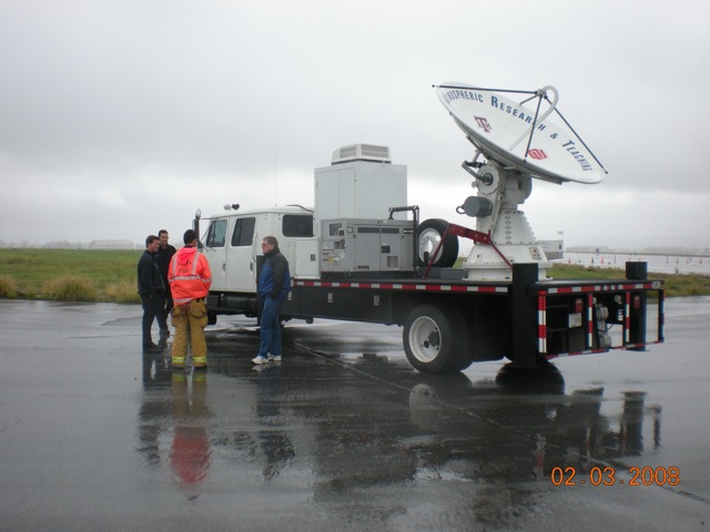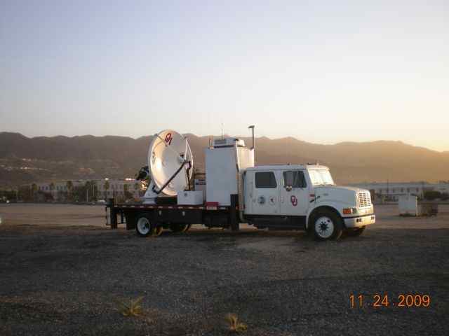
NSSL’s mobile radar team and the Shared Mobile Atmospheric Research and Teaching Radar (SMART-R) have captured seven heavy rain events in southern California as part of the NOAA/USGS demonstration flash flood and debris flow early warning system.
The heaviest rain occurred on December 12, 2009 with over 2 inches of rain reported in some areas. During the event the National Weather Service issued a Flash Flood Warning for the Station Fire burn area where debris eventually blocked some of the roads.
NSSL is supplying real-time close-up radar data during rain events in areas where the local NWS radar beam is blocked by the terrain. The SMART-R is currently located at the Bob Hope Airport in Burbank, California, and the project is expected to run through April 1, 2010. NSSL and CIMMS folks rotating through the project so far are Dave Jorgensen, Katherine Willingham, and Kevin Manross.


