NOAA World online magazine posted an article called “The Hazardous Weather Testbed: Incubating New Ideas for Better Storm Forecasting” in their latest issue under the “Science and Technology” category. The text of the article is copied below.
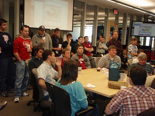
Patrick Marsh, a University of Oklahoma graduate student working for NOAA’s National Severe Storms Laboratory/Cooperative Institute for Mesoscale Meteorological Studies leads a map discussion in the NOAA Hazardous Weather Testbed in Norman, Okla.
NOAA HWT: Incubating New Ideas for Better Storm Forecasting
“By the time weather maps make their way to the television news, they often dazzle the eye with electrifying graphics and swirling animations of swift-moving storm fronts. But what we don’t see is the tedious research, analysis and discussion that, over time, can figure into making forecasts more accurate and timely than ever.
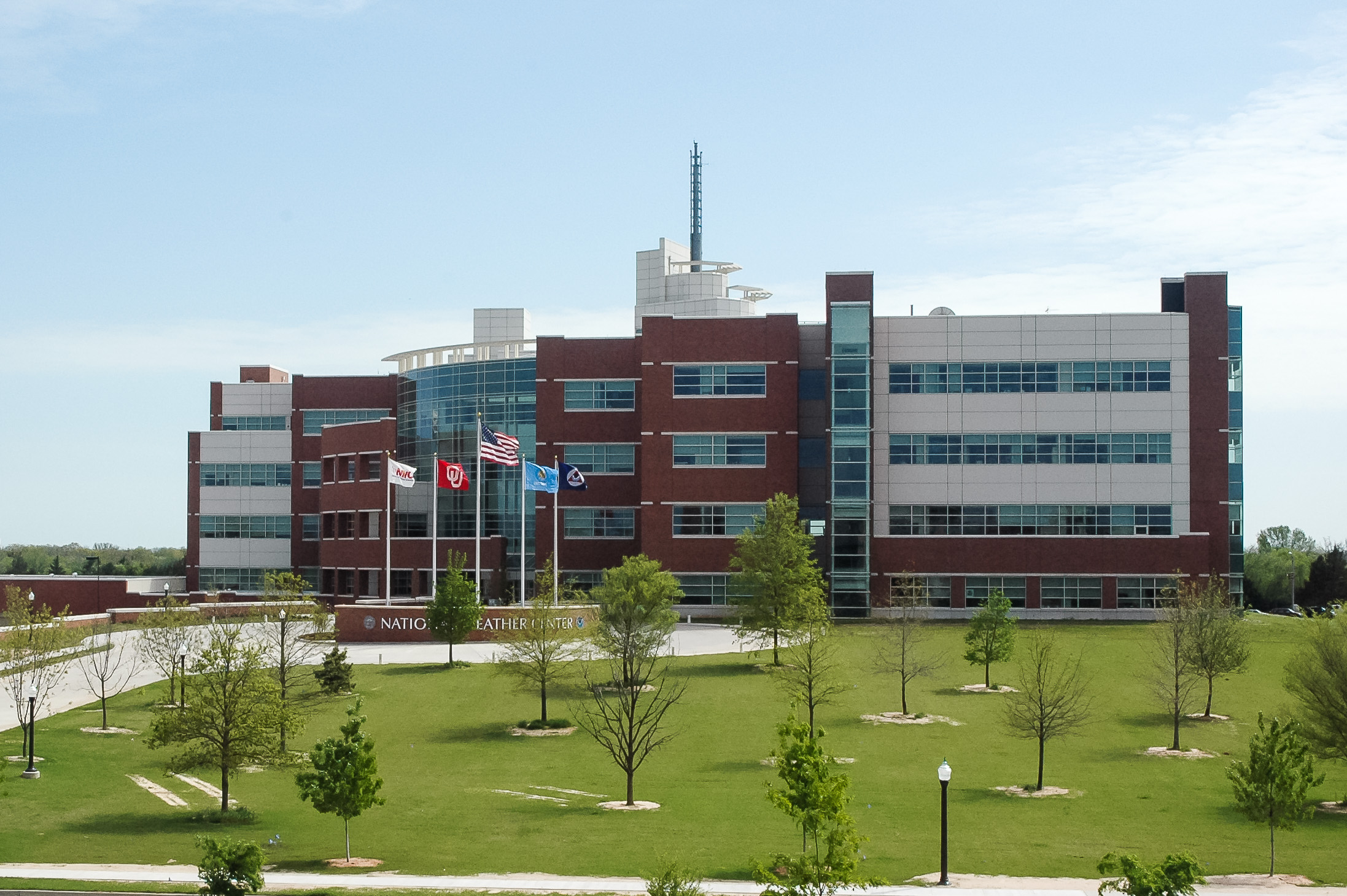
Step inside NOAA’s Hazardous Weather Testbed, and you’ll see where some of the most innovative ideas for improving the accuracy of forecasts and warnings are born. Housed in the National Weather Center in Norman, Okla., this unique research facility serves as an incubator of ideas to be shared and nurtured by scientists — and potentially translated into new learnings and real-world tools.
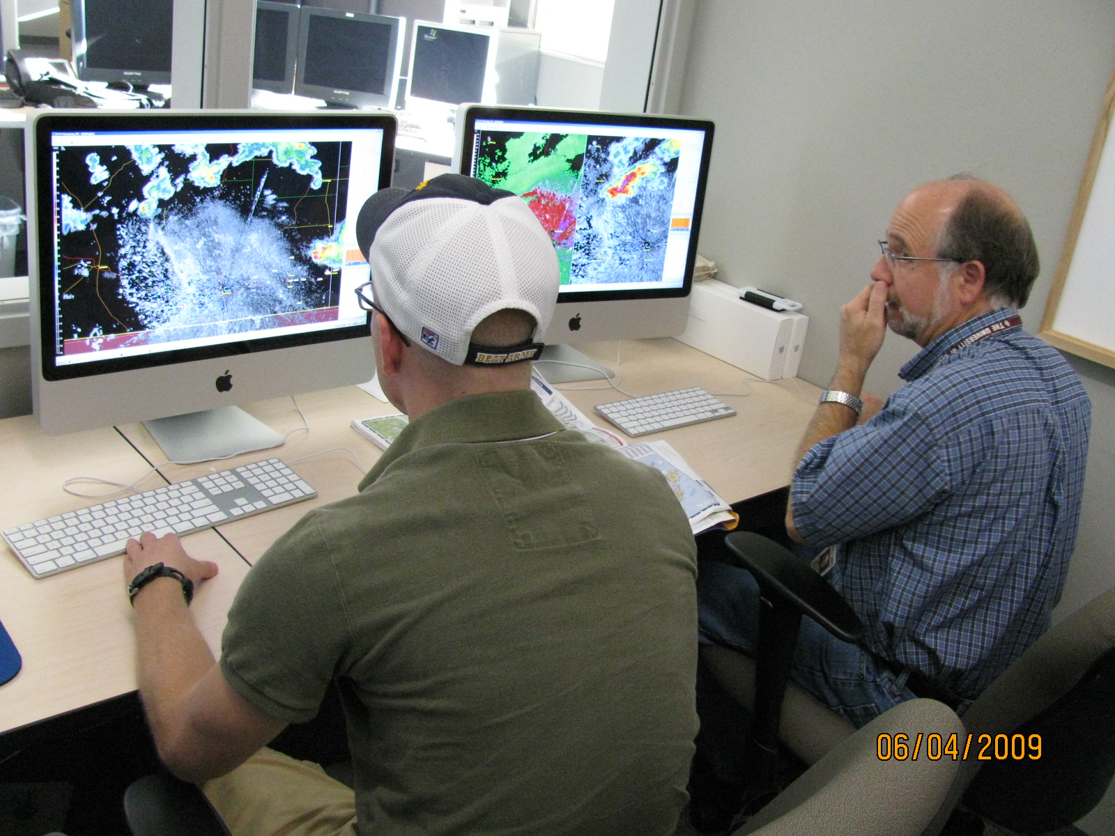
As storms wreaked havoc on the U.S. this winter, some of the best minds in meteorology were busy poring over weather maps in the Norman Testbed facility. These regular gatherings of scientists and meteorologists from government and academia — known as “map discussions” — have been held every Monday for the past year. When high-impact weather affects the country, the group meets more often.
Such was the case during the last week in January. On Monday the 25th, a group of 30–40 scientists and meteorologists gathered in the Testbed to discuss an ice storm that would threaten to shut down Oklahoma by the end of the week.
By Wednesday, a record crowd of 74 scientists had crammed themselves into the laboratory to share their thoughts on the advancing storm system. Some were there to brainstorm; others, such as local meteorology students, listened and learned.
“When meteorologists of different backgrounds and specialties gather to discuss the day-to-day weather in the NOAA Hazardous Weather Testbed, they are taking part in advancing science,” says Greg Carbin, a warning coordination meteorologist from the National Weather Service Storm Prediction Center who co-leads the map discussions.
Ice weighs down trees and power lines in southern Oklahoma during a late January winter storm that was the topic of a recent map discussion at the Hazardous Weather Testbed, a laboratory housed within NOAA’s Norman, Okla.-based National Weather Center.
Photo courtesy of Cotton Electric Cooperative, Inc.
Forecasting winter weather is particularly tricky. A subtle difference in location or temperature can change the forecast from ice to snow or rain.
Patrick Marsh knows this all too well. As a University of Oklahoma graduate student working for National Severe Storms Laboratory /Cooperative Institute of Mesoscale Meteorological Studies, Marsh led the Wednesday session.
“We’ll start off with the national watch/warning graphic,” Marsh told the crowd, as he gestured to maps displayed on giant video monitors overhead. “As you can see, for basically the northwest two-thirds of Oklahoma and the Texas panhandle, the winter storm watch has been converted to a winter storm warning.”
The group spent the next half-hour discussing all the possible types of weather forecast maps, including many experimental forecast products.
The Wednesday map discussion was captured on video and posted online for those who couldn’t participate. As the dangerous mix of frozen precipitation began to pummel central Oklahoma, Marsh also created a listserv to extend the dialogue online.
By mid-afternoon on Thursday the 28th, freezing rain had caused a layer of ice to accumulate on trees and roads. That evening, more than 100,000 Oklahomans were without power.
For those who still had electricity, the map discussion continued online from home. Teachers, students, practitioners and researchers — united by a passion for all things weather — continued to formulate possible answers to some nagging questions: Why did the precipitation end so abruptly in southwest Oklahoma? Why did the models seem to struggle with the structure and timing of the forecasted precipitation?
In the case of highly variable and unpredictable winter weather, there’s one thing you can always count on: with every answer, a new question inevitably follows. As to whether this round of map discussions will play a part in the creation of new forecasting products or tools remains to be seen. However, it’s clear that taking a brainstorming approach to improving weather forecasts is what makes the Hazardous Weather Testbed a potential hotbed for meteorology’s next big ideas.”


