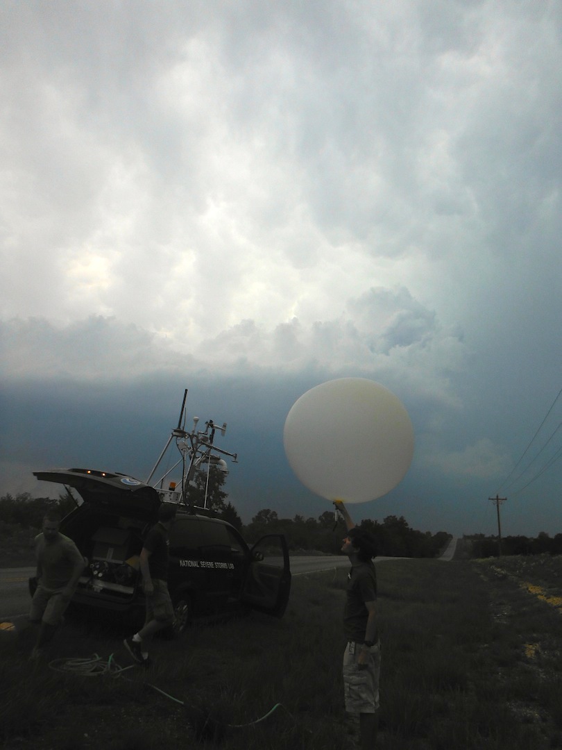
NSSL scientists will be launching instrumented balloons into thunderstorms this spring to learn more about storm electricity and how it relates to different kinds of precipitation. The project runs from May 15–June 30, 2011. Potential target storms will be within the 3-D coverage of the Oklahoma Lightning Mapping Array, within about 100 miles of Norman, Okla.
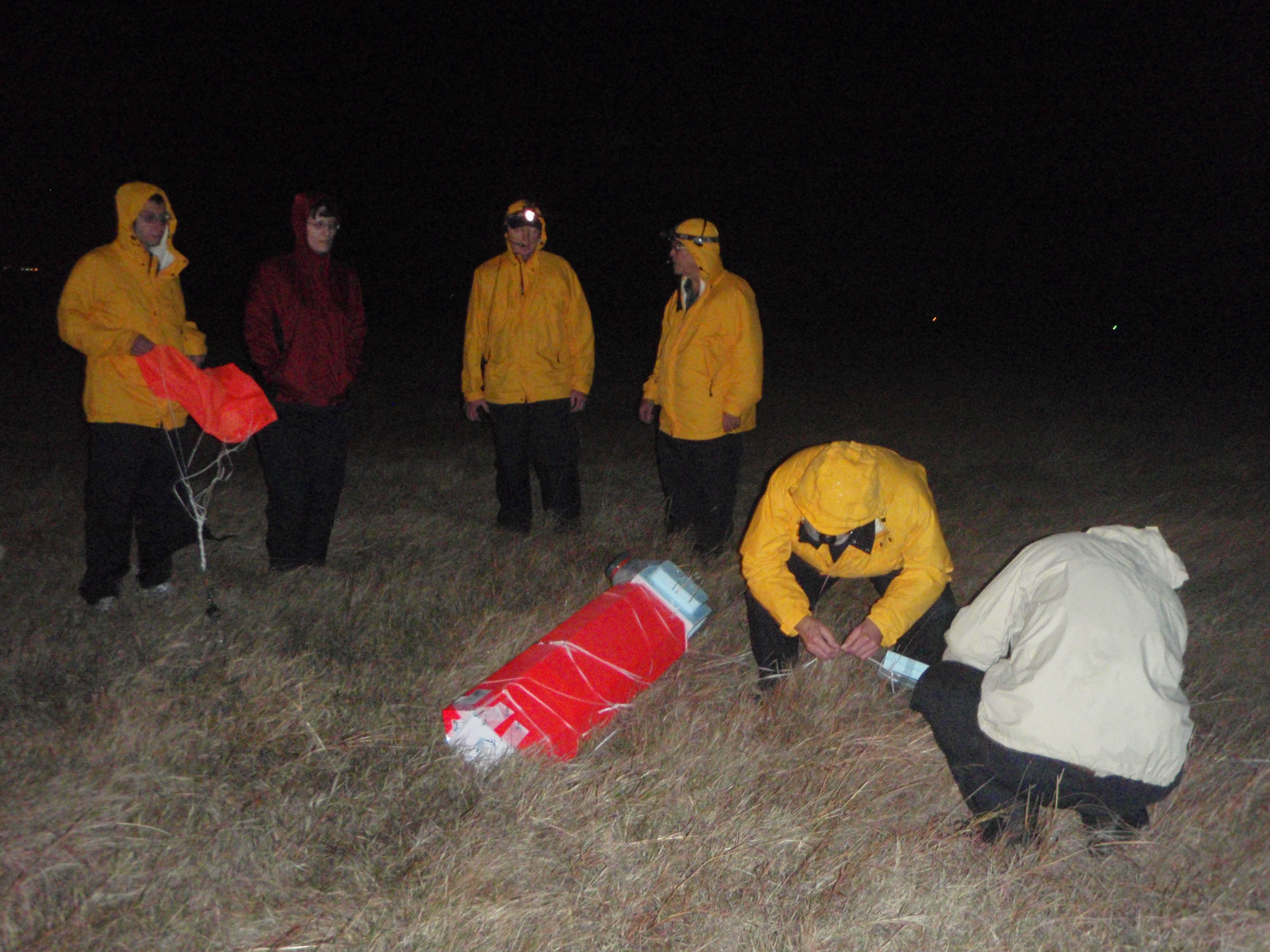
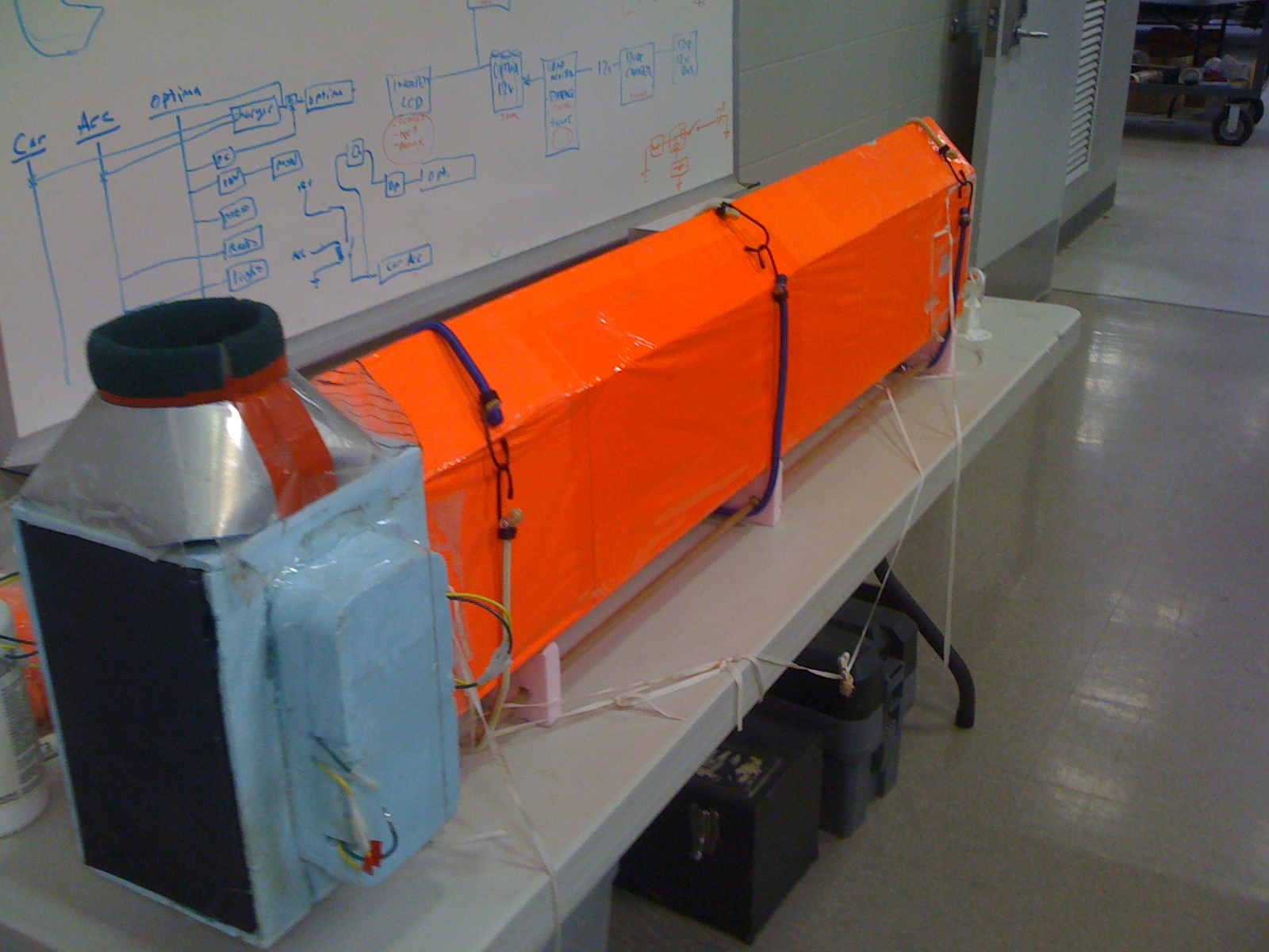
The “High Definition Videosonde Particle Imager” (HDVPI), built in NSSL’s machine shop, is designed to capture high-definition images of raindrops and ice particles. Other instruments attached to the balloon measure the surrounding electrical field and other atmospheric variables.
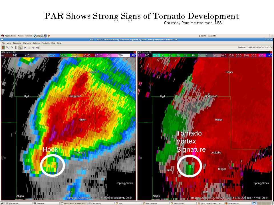
Data will also collected simultaneously from the 3-D Oklahoma Lightning Mapping Array (OK-LMA), the National Weather Radar Testbed Phased Array Radar, and the University of Oklahoma Polarimetric Radar for Innovations in Meteorology and Engineering (OU-PRIME) for analysis and comparison.
This microphysical data will be used in thunderstorm modeling, warn-on-forecast studies, and for evaluating and refining radar precipitation classification schemes used by WSR-88D and other polarimetric radars.
The prototype HDVPI was successfully launched into a thunderstorm complex in October, 2010. It was the first time HD video was recorded inside a thunderstorm.
Researchers believe the HDVPI will likely be a useful and potentially important research tool that would contribute to fulfilling aspects of the NOAA/NSSL mission.


