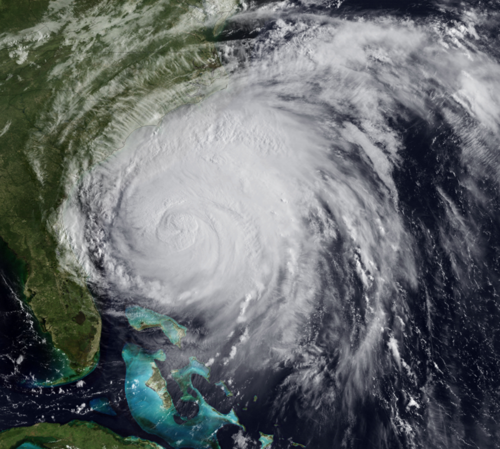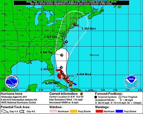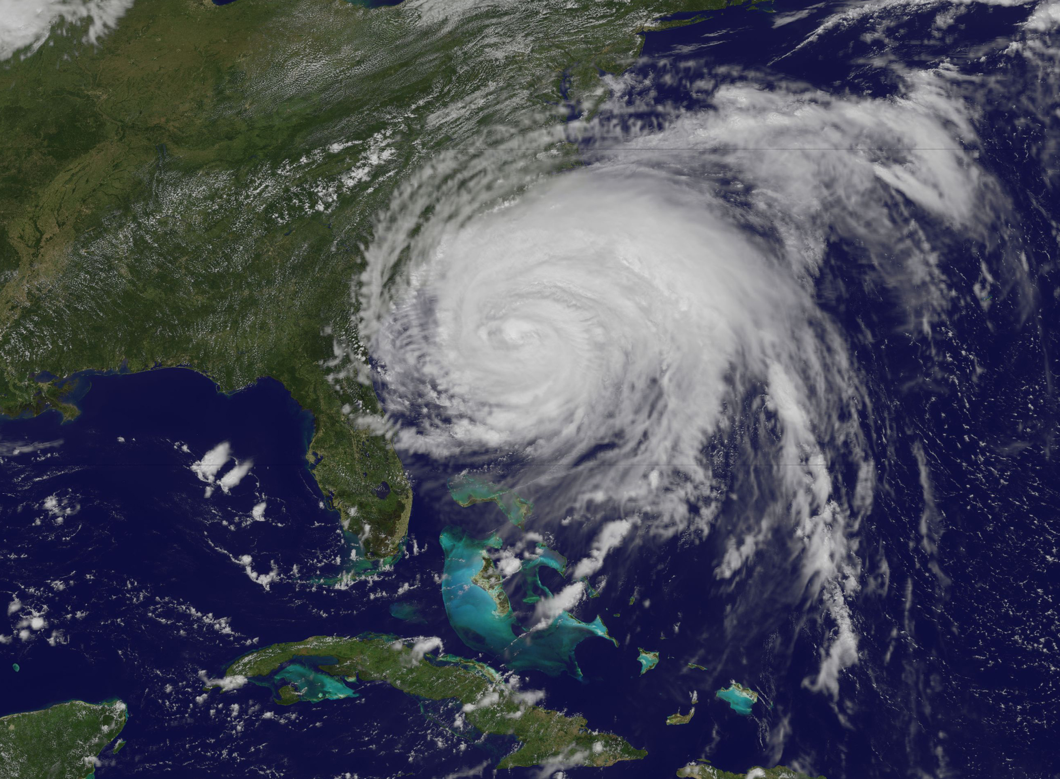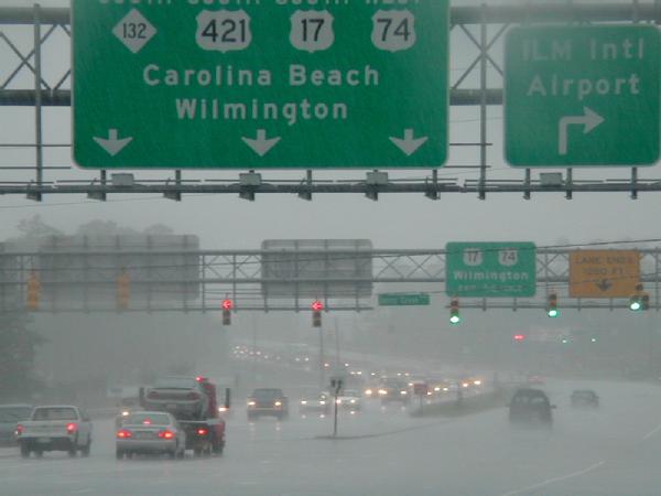
The Coastal and Inland Flooding Observation and Warning (CI-FLOW) project began producing real-time 84-hour simulations of total water level in coastal North Carolina from Hurricane Irene on August 23, 2011. CI-FLOW is the first system to capture the complex interaction between waves, tides, river flows, and storm surge to produce total water level simulations. Hurricane Irene made landfall near Morehead City, N.C.
Impressive predictions of water level and inundation are shown in the image to the left. This information was available to forecasters before landfall. CI-FLOW total water level simulations were compared with water levels observed during the storm. Researchers found a high level of agreement in both the timing and water level heights for the Tar-Pamlico and Neuse River coastal watershed.
The Raleigh NWS Weather Forecast Office (WFO) shared CI-FLOW information with critical decision makers in briefings and conference calls, including highlighting the CI-FLOW predictions displayed on the public domain Coastal and Emergency Risks Assessment (CERA) web site. A Raleigh WFO said: “Several of us referred to and viewed various CI-FLOW products. The one product I used the most was the storm surge simulation.” A forecaster from the Newport/Morehead City WFO said, “I received a call for a storm surge forecast from the Emergency Management office at MCAS Cherry Point early Thursday morning. I relayed to them an expected water level height of 6-8 feet there based on the forecast hydrograph at that location during that time. I did stress that the information was to be used as guidance only given the experimental nature of the data, but I felt comfortable enough with the forecast based on my personal experience of observing water levels on the Neuse to consider it reasonably reliable.”
The North Carolina governor Beverly Perdue has stated preliminary losses from Hurricane Irene topped $400 million. President Barack Obama signed a disaster declaration for coastal North Carolina. Hurricane Irene inflicted some of its worst damage in that state by pushing the water from the estuarine sounds up against the western edge of the barrier islands and the Tar and Neuse river outlets to the Pamlico Sound.
A diverse group of local, state, regional, academic and federal partners, and emergency management communities formed CI-FLOW with a united goal to improve flood predictions and warnings. The consortium includes NOAA’s National Severe Storms Laboratory, the North Carolina, South Carolina, and Texas Sea Grants, National Sea Grant, University of Oklahoma, Renaissance Computing Institute (RENCI), University of North Carolina at Chapel Hill, Seahorse Consulting, NWS Forecast Offices in Raleigh, and Newport/Morehead City, NWS Southeast River Forecast Center, NOAA’s Coastal Services Center, NOAA in the Carolinas, NOAA-IOOS, DHS-DIEM, Centers for Ocean Sciences Education Excellence SouthEast, NWS Office of Hydrologic Development, and NOS Coast Survey Development Laboratory.


