1981–1984
NSSL attempts to deploy TOTO, the TOtable Tornado Observatory in the path of an oncoming tornado. They are unsuccessful.
1985
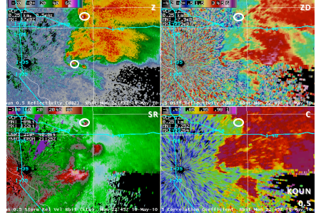
NSSL researchers develop and test a technology that transmits radar energy pulses both horizontally and vertically on the Cimarron radar. They discover this capability provides valuable information about the type and amount of precipitation that is falling and call it dual-polarization technology.
1987
NSSL develops and tests radar algorithms that detect and notify forecasters of hail, tornado circulations, downbursts and gust fronts.
1988
Engineers convert the Cimarron radar to dual-polarization.
1990
NSSL researchers begin development of the Warning Decision Support System (WDSS) designed to enhance National Weather Service warning capabilities. WDSS contains a combination of sophisticated severe weather detection algorithms and an innovative, user-friendly display.
1991
NSSL participates in the Cooperative Oklahoma Profiler Studies of 1991 (COPS-91) and uses instrumented aircraft and a ground-based network of instruments to sample tornadic supercells.
1994
The Verification of the Origins of Rotation in Tornadoes EXperiment (VORTEX) begins. VORTEX is a two-year project designed to answer a number of ongoing questions about the causes of tornado formation. It was a near record for the fewest number of tornadoes in the VORTEX area, but operations still occurred on 18 days and collected data on storms on 9 days.
NSSL partners with the University of Oklahoma to develop the first mobile Doppler radar.
1995
The Department of Commerce awards NSSL a Gold Medal for work leading up to and ongoing support of the national deployment of Weather Surveillance Radar-1988 Doppler (WSR-88D) radars.
VORTEX intercepts nine tornadoes; two of them were very large and violent.
The mobile Doppler radar is operational and provides revolutionary data on several tornadic storms during VORTEX.
NSSL and SPC begin a long-term collaboration to address operational severe weather forecasting issues.
1996
NSSL supports weather-decision making during the 1996 Summer Olympic Games in Atlanta, Ga. with the Warning Decision Support System (WDSS).
NSSL designs and develops software allowing the WSR-88D system to be more easily modified and updated.
1997
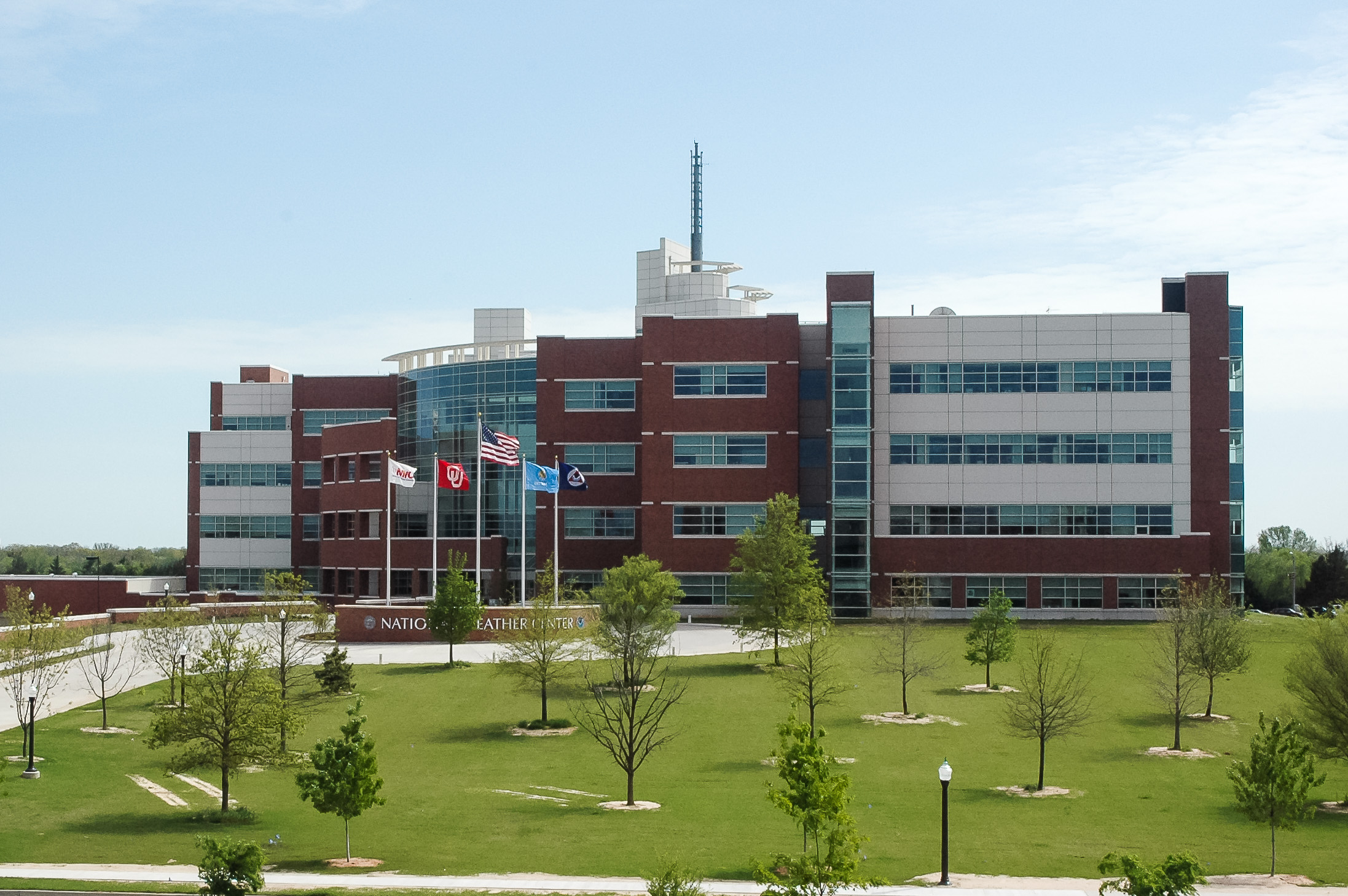
The National Severe Storms Forecast Center moves from Kansas City to Norman and changes its name to the Storm Prediction Center. This was a deliberate move to collocate research with operations.
NSSL receives permission to upgrade their prototype WSR-88D radar with dual-polarization technology to determine the practicality of upgrading the nationwide network of Doppler radars.
NSSL scientists lead the Thunderstorm Initiation Mobile Experiment (TIMEx), an organized effort designed to answer specific questions concerning convective initiation.
NSSL conducts the SubVORTEX project as an extension of VORTEX with fewer vehicles and a tighter focus.
1998
NSSL coordinates the MEaPRS (MEsoscale Convective System Electrification and Polarimetric Radar Study) project using an array of fixed and mobile sensors, including a P-3 research aircraft and several mobile laboratories, to simultaneously sample a target Mesoscale Convective System.
NSSL’s Warning Decision Support System (WDSS) is included in the Advanced Weather Information Processing System (AWIPS) to provide forecasters with the latest severe weather warning technology.
It is the 50th Anniversary of the first tornado forecast.
1999
NSSL and OU conduct VORTEX-99, a small follow-on project to the original VORTEX. VORTEX-99 is operating when an F5 tornado tears through parts of south Oklahoma City on May 3, 1999.
NWS forecasters rely on NSSL’s Warning Decision Support System (WDSS) to make timely and accurate tornado warnings during the deadly tornado outbreak in central Oklahoma on May 3, 1999.
NSSL unveils the next-generation of WDSS: WDSS-II (WDSS-Integrated Information), redesigned to allow for easier development and testing of severe weather detection and prediction applications using all operational data available in AWIPS.
2000
NSSL receives funds to build the National Weather Radar Testbed (NWRT) facility in Norman to develop and test phased array radar technology. Phased array radar can scan the skies in less than a minute, five times faster than current radars.
NSSL joins a coalition of researchers to design, build and deploy a mobile dual-radar system: the Shared Mobile Atmospheric Research and Teaching Radars (SMART-R).
NSSL scientists direct research aircraft in Europe’s Mesoscale Alpine Project.
The Intermountain Precipitation Experiment (IPEX) collects data on terrain-induced precipitation events and interactions producing lake-effect snow bands in northern Utah.
NSSL conducts the Severe Thunderstorm Electrification and Precipitation Study (STEPS) field program near the Colorado-Kansas border to study thunderstorms and lightning on the high plains for eight weeks.
NSSL develops a real-time multi-sensor algorithm to estimate rain and snowfall called QPE-SUMS (Quantitative Precipitation Estimation and Segregation Using Multiple Sensors).
An NSSL scientist develops a severe weather climatology model telling us when and where severe weather is most likely to happen anywhere in the U.S.
NSSL and the NWS publicly fight the myth that highway overpasses are safe shelters in tornadoes.
A partnership begins with North Carolina groups to bring advanced flood monitoring and warning technologies to the coastal Carolinas.
The first NOAA Hazardous Weather Testbed (HWT) Spring Experiment to evaluate operational and experimental models and algorithms with the NWS begins and becomes an annual event.
NSSL’s Warning Decision Support System (WDSS) provides weather support during the 2000 Summer Olympic Games, in Sydney, Australia.
View the complete NSSL timeline here.
For More:
NSSL: 1964-1980

