For the first time ever, lightning data from a weather satellite is available and being evaluated in the NOAA Hazardous Weather Testbed.
Forecasters, researchers, product developers and broadcast journalists are analyzing recently available experimental data from an instrument on GOES-16, the newly launched NOAA satellite as part of the HWT Experimental Warning Program.
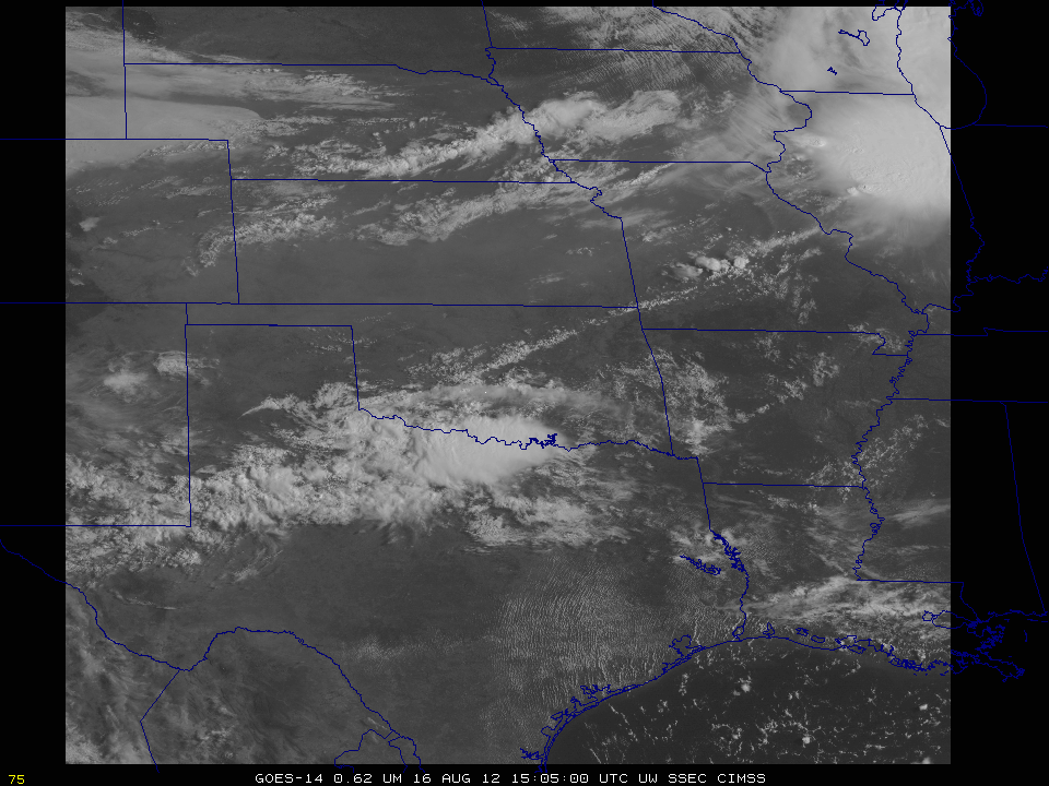
GOES-16, launched by NASA last November, scans the skies five times faster than NOAA’s current geostationary weather satellites and provides images at four times greater resolution.
The higher resolution allows forecasters to see more details in storm systems, particularly during periods of rapid strengthening or weakening. GOES-16 is also the first to carry a lightning detector in geostationary orbit.
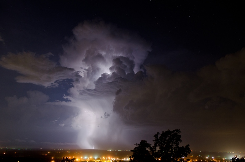
The Geostationary Lightning Mapper observes total lightning, meaning in-cloud and cloud-to-ground lightning. GLM can help increase the accuracy of forecasts and warning times when combined with other forecaster tools.
The HWT EWP GOES-16 experiment just wrapped up its second of four weeks. Kristin Calhoun, CIMMS research scientist working at NSSL, said this is the first time forecasters have seen GLM data from GOES-16.
“We are here to test it and to contribute anything from ideas for data integration to training needs,” Calhoun said. “We want people to identify as many training gaps as possible.”
Bill Line, a meteorologist with the NOAA National Weather Service Pueblo forecast office, said if people like him learn to use GLM’s data, it will better his forecasts.
“These are new tools and we want to make sure forecasters are ready to use them,” he said. “There are many combinations of data and probabilities they haven’t looked at before.”

That is the purpose of the HWT – the facility allows end users to test new, experimental products before they are released to the NWS or other NOAA entities and partners.
“We’ve held similar experiments in the past but with proxy data,” Calhoun said. “This is the first year we are able to use real data. Ideally we will continue experiments like this, using real GOES-16 data, for years to come.”
David Stark, a meteorologist with the NWS New York forecast office, participated in the first week’s experiment. He described the experience as outstanding.
“Testing out some new products and helping fine tune them so they just aren’t thrown into the NWS is great,” he said. “To be able to see these tools and see the new research, while acting like I’m issuing warnings in an area gives me a good idea and feel of what I could be doing with this in real life and how it would enhance our current products.”
Stark said the product helps better show storm formations, providing the forecaster with a better idea of when and where a storm may form.
“This would add more confidence to my forecasts and allow me to focus more on increasing warning on possible life-threatening storms,” Stark said.
The GOES-16 experiment continues in the NOAA Hazardous Weather Testbed through July 21.


