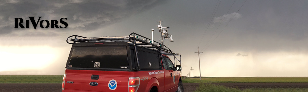
The first multi-day mission of RiVorS departed from Norman late Wednesday afternoon, ferrying the two mobile mesonet crews and CLAMPS sounding team to Dodge City, KS, in preparation for the first of several severe weather days in the High Plains.
Thursday morning brought prospects of strong to severe thunderstorms in northeastern Colorado and northwestern Kansas. High-resolution model guidance was fairly consistent in producing an isolated, rotating storm near the I-70 corridor. However, as is often the case in this part of the Plains, the environment seemed dry enough that organized supercells would likely struggle to persist. Our sounding taken near Colby, KS, in the early afternoon showed that fact with a surface dew point of only 50 degrees. Around this time, a cluster of showers and storms quickly intensified in northeastern Colorado. We decided to focus our attention on an area of kinematic and moisture convergence further south, near the Kansas/Colorado border, south of I-70.
A supercell to the north had developed an intense low-level circulation, with a tornado probable within minutes, but at the same time, the drive might be too long, causing us to possibly miss the storm at its peak intensity. Hoping that clear inflow and more favorable low-level moisture would win out, we decided to intercept a southern cell, which appeared to be organizing quickly.
The northern cell did indeed produce a brief, weak tornado, but weakened substantially soon after as its massive pool of rain-cooled air gusted outward and cut off its warm inflow. This appeared to be the pattern for storms today – quickly build, become marginally severe, and “gust out” and dissipate soon after. Given such limited moisture, this was not surprising: drier air causes higher evaporation rates, which in turn cools the air in the area. We completed our first pass through our storm’s core as it crossed into Kansas near the town of Kanorado. Sensors on the mesonet measured very cold air inside the storm, and the wind flow was directly away from the storm. Although the outflow was far too strong, we noticed signs that it had an opportunity to mature.
The two mobile mesonets sampled the region around the storm’s rotating updraft and successfully transected its core in its early stages of development. Near Winona, we penetrated the hook of the storm, experiencing slushy, ping-pong ball-sized hail and measuring wind gusts well over 70 mph. An initial look at some of the data suggests that we sampled some intriguing small-scale wind features.
Beyond the impressive fact that a small shower evolved into an intense supercell in near 50-degree dew points, this storm was notable for its rapid evolution despite its outflow-dominant nature. We witnessed several instances of storm cycling and approached rain-wrapped, near-ground velocity couplets on more than one occasion. In addition, the rapid initiation of additional showers very near the hook and their subsequent interaction with the dominant storm made for an interesting and challenging scenario. Whether any vorticity rivers were observed will be determined after a closer inspection of the data.