
It looks like we have full 18-06z loops from all available data from 00Z, May 6, 2009!
This is a first for the 2009 SE.
With the center point change to CLT today we are outside the domain of the 00Z CAPS CNA and C0A models.
GEMPAK just plots a blank image with a title for those frames. Everyone else appears to exist for the
18z-06z period. This includes the following 00Z runs:
WRF-AFWA
WRF-NCAR
WRF-NMM
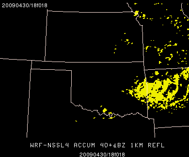
WRF-NSSL
WRF-CAPS1
CAPS-SSEF-ALL (18 members)
CAPS-CNA – no grids in selected domain and not shown in the loop links, below.
CAPS-C0A – no grids in selected domain and not shown in the loop links, below.
Here are the links to the loops for this 00Z run of the models (the verifying base/composite reflectivity will fill-in tonight):
6-panel 1KM REFL w/ verifying BREF w/ time:
http://hwt.nssl.noaa.gov/Spring_2009/loop_6panel.php?date=20090506&image1=nssl&image2=afwa&image3=ncar&image4=nmm&image5=caps1&image6=brefr
6-panel Composite REFL w/ verifying BREF w/ time:
http://hwt.nssl.noaa.gov/Spring_2009/loop_6panel.php?date=20090506&image1=nssl_cref&image2=afwa_cref&image3=ncar_cref&image4=nmm_cref&image5=caps1_cref&image6=crefr
4-panel Synthetic Severe (no HRLY REFMAX from AFWA4 until next week) w/ verifying hrly reports w/ time:
http://hwt.nssl.noaa.gov/Spring_2009/loop_4panel.php?date=20090506&image1=nssl_ssvr&image2=nmm_ssvr&image3=afwa_ssvr&image4=lsr
