High Risk Day in the HWT

Today is one of those rare days in the parameter space of severe weather. A high risk has been issued for portions of the Texas Panhandle into western and central Oklahoma, including us here in Norman and the OKC metro area. Models continue to paint an ominous picture of numerous waves of tornadic supercells within the warm sector and east of the dryline  throughout SW Oklahoma into the OKC metro area. Flooding will also be a major concern and could potentially have as much impact as the tornadoes. We will be operating in the Norman, OK, Amarillo, TX, and Lubbock, TX CWAs throughout the day.

-Michael

Tags: None

Area Discussion Prior to Severe Wx Kickoff

Area discussion for the Dakotas: Lower heights area located over western S Dakota and stacks from 700-500mb and will make its way easterly throughout the day. 850mb winds from the south at 30Kts.

METSAT shows low/mid clouds moving into ND from the west with clearing over the center of the states where wx is expected. Upstream surface observations support this clearing as they show dry air advecting into the area from the south.

Radar shows weak convective activity to the north moving into Canada. Models and the SREF are in agreement that the majority of thunderstorm development happen around 1-3z.

Merged TPW Composite total PW values over the center of the N/S Dakota states where convection is expected according to SPC outlook is less than 1” with values between .80-.95” and AllSkyLAP 900mb PW is even lower at .30”.

NUCAPS fcst Sfc CAPE overlay CAPE values range between 400-500/kg but there are quite a few gaps in coverage.

Meanwhile AllskyLAP CAPE shows 900-1500J/kg, and NAM models show extremely high CAPE values of 3000-4500J/kg.

Local TAFs show no thunderstorms or even rain while the SPC continues to carry SLGT over the Dakotas. It’ll be interesting to see how this scenario plays out as the day progresses.

–DESMOND–

NUCAPS in 4-Panel

When NUCAPS Sounding Availability is loaded in a 4-Panel and is ‘Editable’, you can sample the data by clicking on any of the other panels. This could be useful if there is an area of interest in one of your other datasets (i.e. vis/CAPE/PWAT) so that you don’t have to find the nearest dot using the NUCAPS imagery; simply click the area of interest on the panel you’re investigating. Works in panel combo rotate as well.

— FLGatorDon

Test Post – 2019 HWT Experiment

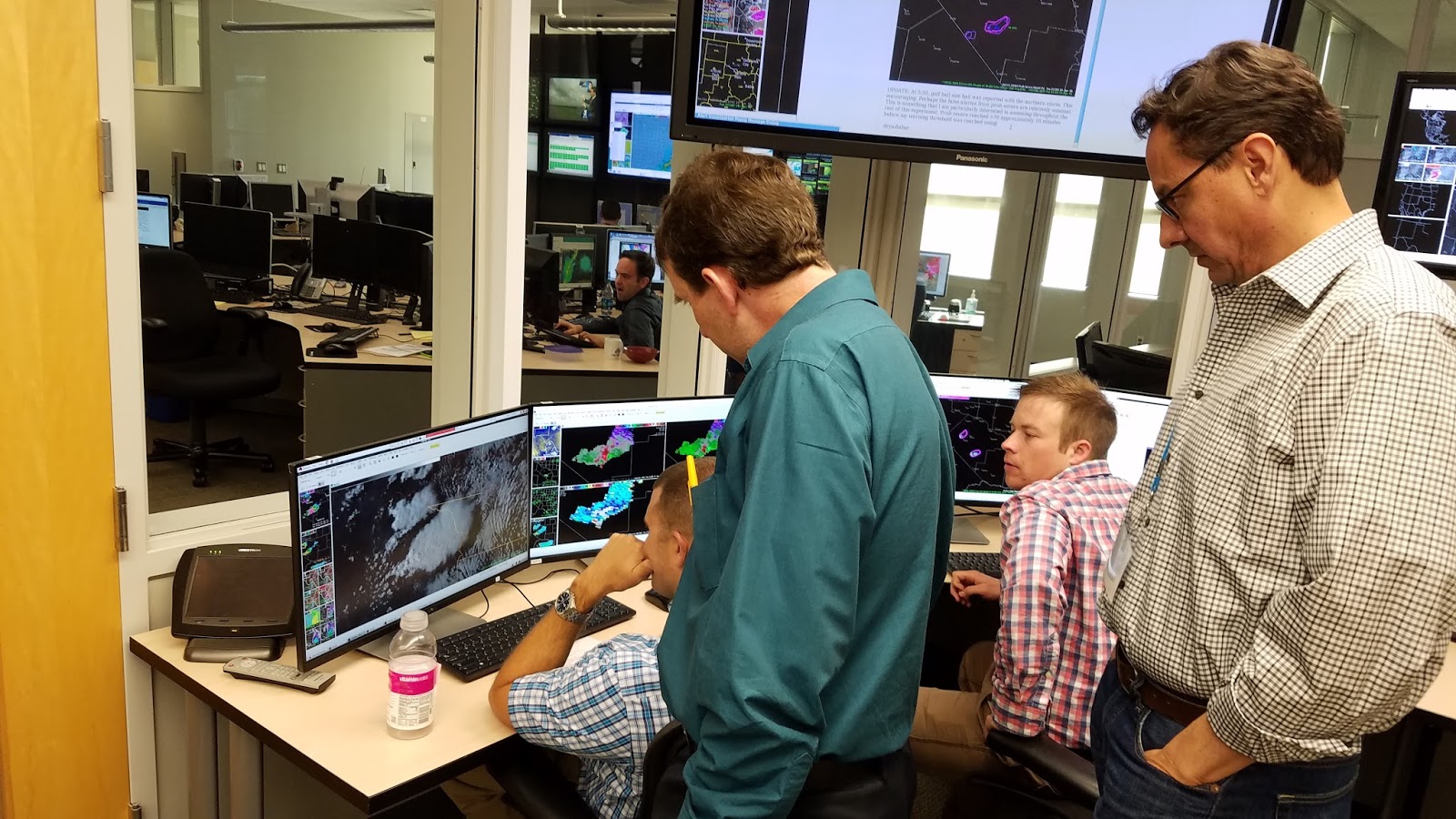
The first operational week for the 2019 Satellite & Radar Convective Applications Experiment begins next week, 22-26 April.  Some information before your participation begins:

Plan to arrive at the NWC at 11 am on Monday so that we can escort you into the National Weather Center (NWC).  When you arrive, please park in the visitor’s parking lot (the row nearest the building).  After you park, enter in the first floor entrance of the NWC on the northeast side of the building.  When you arrive, wait for Michael Bowlan at the first floor entrance by the security desk.

If you are a NOAA visitor, please wear your NOAA ID at all times within the NWC.  Non-NOAA visitors will receive a “NOAA Visitor” lanyard (from Michael Bowlan).  Additionally, we’ll issue magnetic key cards to enter specific areas in the building (NOAA visitors only).  After this, we will provide a short tour of the NWC so that you can get acquainted with the NWC.

Since our Monday shift starts at 11 am, we will have a brief lunch break during our orientation.  You may bring your own lunch (we have a refrigerator), or you may purchase one at our Flying Cow Cafe on the 1st floor.  The Flying Cow is open all week, from 8:00 AM to 3:00 PM.

Training materials are available on the 2019 EWP website. Please be sure to complete the modules before you arrive.  Also, please have your NWSChat username / password at the ready, as this will be useful during the week.  Finally, if you have any special needs concerning AWIPS-2 color tables, let me know.  If need be, we can upload any special procedures you may have.

We are eagerly awaiting your arrival, and hope you find the EWP experience worthwhile.

Tags: None

GOESR proving ground starting June 19


Projects include:

GOES-16 Advanced Baseline Imager (ABI) Imagery, Band Differences, RGB’s, and Baseline Derived Products

Hazardous Weather Testbed, Experimental Warning Program Relevance:

  • GOES-16 ABI imagery and products provide information about the pre-convective environment, convective initiation, and the evolution of mature convection.
  • Evaluation of GOES-16 ABI imagery and products shortly after availability in AWIPS allows for the early development of best practices for use in convective situations.

 Product Overview:

  • GOES-16 ABI single-band imagery and band differences are already available to NWS forecasters in AWIPS-II.
  • RGB imagery and baseline derived products will be available to NWS forecasters in AWIPS-II prior to experiment.
  • Imagery and products idenitified as potentially benifiting forecasters in convective warning situations will be the focus of this evaluation.
  • 30-sec and 1-min imagery will be evaluated when available, in addition to the 5-min CONUS imagery

GOES-16 ABI Products:

  • ABI single-band imagery (16 channels)
  • ABI band difference imagery
    • 2 – 7.3 um (Split Window), 1.6 – 0.64 (Split Snow), 6.2 – 7.3 μm (Split Water Vapor), 9.6 – 10.3 μm (Split Ozone)
  • ABI RGB imagery
    • Simple: Day Land Cloud Convection, Day Cloud Phase, Day Land Cloud
    • Advanced: Day Convection, Air Mass, Differential Water Vapor
  • ABI baseline derived products
    • Derived Motion Winds, Derived Stability Indices, Total Precipitable Water, and others as time allows.


**********************************************************************************


Geostationary Lightning Mapper (GLM) and derived lightning detection products

Hazardous Weather Testbed, Experimental Warning Program Relevance:

  • Identify developing deep convection and areal coverage by observing optical detections of both cloud-to-ground and intra-cloud lightning.
  • Evaluate trends from GLM in relationship to storm evolution, storm coverage, severe weather, and flooding potential along with relationships to other fields available at HWT.
  • Identify product types, visualization techniques, and tools for future GLM observations.
  • Identify best practices for GLM products and integration into forecaster storm interrogation methodology.

Product Overview:

  • GLM beta release level 2 products (groups, events and flashes) will be available 9 June 2017 and visualized within AWIPS-II with the baseline GLM plug-in.
  • A Lightning Cluster Filter Algorithm (LCFA) identifies the clustering of optical events into groups and groups into flashes.
  • Time period of display will be evaluated as part of the experiment, but nominally will be 1-min density plots of events, groups, and flashes.

GOES-16 GLM Products:

  • Events – single pixel optical detection exceeding the background threshold for detection.
  • Groups – optical events such as individual return strokes or high current discharges (i.e., K-change). May consist of one or more events (pixel) occurring within a single integration time, including all adjacent pixels, and weighted by the optical intensity of the associated Events.
  • Flash Centroids – One or more groups occurring within 330 ms and 16.5 km. The flash is given as a single, centroid point weighted by the optical intensity of the associated Groups.


Tags: None

Severe Thunderstorm Warning #1 – Southern Wisconsin

042516 MKX SEVERE THUNDERSTORM WARNING 1
WUUS53 KMKX 252055
SVRMKX
WIC089-117-131-252130-
/O.NEW.KMKX.SV.W.0001.160425T2055Z-160425T2130Z/

BULLETIN – IMMEDIATE BROADCAST REQUESTED
SEVERE THUNDERSTORM WARNING
NATIONAL WEATHER SERVICE MILWAUKEE-SULLIVAN WI
355 PM CDT MON APR 25 2016

THE NATIONAL WEATHER SERVICE IN SULLIVAN HAS ISSUED A

* SEVERE THUNDERSTORM WARNING FOR…
NORTHEASTERN WASHINGTON COUNTY IN SOUTHEASTERN   WISCONSIN…
SOUTH CENTRAL SHEBOYGAN COUNTY IN EAST CENTRAL WISCONSIN…
NORTHERN OZAUKEE COUNTY IN SOUTHEASTERN WISCONSIN…

* UNTIL 430 PM CDT

* AT 355 PM CDT…DOPPLER RADAR INDICATED A SEVERE THUNDERSTORM CAPABLE OF PRODUCING QUARTER SIZE HAIL AND DAMAGING WINDS IN EXCESS OF 60 MPH. THIS STORM WAS LOCATED NEAR WEST BEND…AND MOVING NORTHEAST AT 40 MPH.

* LOCATIONS IMPACTED INCLUDE…
WEST BEND…PORT WASHINGTON…SAUKVILLE…BELGIUM…FREDONIA…CEDAR GROVE…RANDOM LAKE…NEWBURG…ADELL…HINGHAM…FILLMORE…SILVER CREEK…BOLTONVILLE AND WAUBEKA.

PRECAUTIONARY/PREPAREDNESS ACTIONS…

SEVERE THUNDERSTORMS PRODUCE DAMAGING WINDS…DESTRUCTIVE HAIL…DEADLY LIGHTNING AND VERY HEAVY RAIN. FOR YOUR PROTECTION…MOVE TO AN INTERIOR ROOM ON THE LOWEST FLOOR OF YOUR HOME OR BUSINESS. HEAVY RAINS FLOOD ROADS QUICKLY SO DO NOT DRIVE INTO AREAS WHERE WATER COVERS THE ROAD.

&&

LAT…LON 4346 8780 4341 8785 4334 8825 4340 8833
4368 8788 4355 8779
TIME…MOT…LOC 2055Z 241DEG 33KT 4340 8824

$$

BMS/BAJ

25_MKX_SVR_ProbSevere

ssued Severe Thunderstorm Warning for this cell in Southern Wisconsin, went above 40% Prob Severe with above 0.70 MESH, KMKZ indicated 66 DBZ to 22K feet with this thunderstorm, felt this was enough to pull a trigger for a Severe Thunderstorm Warning.

Forecaster: Schuerman/Jackson


Tags: None

Week 1 complete!

Week 1 (of 4) of the Hazardous Weather Testbed 2016 GOES-R/JPSS Spring Experiment is now complete! Although there were no widespread severe weather outbreaks this week, the marginal events provided just enough to keep our participants busy. The week 1 participants provided plenty of useful feedback on all of the products demonstrated, much of which can be found here on the blog. Below are a few photos from the week.

Bill Line, SPC/HWT Satellite Liaison

Week 1 HWT GOES-R/JPSS Participants - Lef to right: Randy Bowers (WFO AMA), Chris Gitro (WFO EAX), Mike Jurewicz (WFO BGM), Bill Line (OU/CIMMS and NOAA/SPC), Antonia Gambacorta (JPSS), Dave Aguilera (KCNC-TV Denver), Kristin Calhoun (OU/CIMMS and NSSL). Justin Sieglaff (UW/CIMSS) was also in attendance.
Week 1 HWT GOES-R/JPSS Participants – Lef to right: Randy Bowers (WFO AMA), Chris Gitro (WFO EAX), Mike Jurewicz (WFO BGM), Bill Line (OU/CIMMS and NOAA/SPC), Antonia Gambacorta (JPSS), Dave Aguilera (KCNC-TV Denver), Kristin Calhoun (OU/CIMMS and NSSL). Justin Sieglaff (UW/CIMSS) was also in attendance.
Working inside the HWT
Participants interrogating the SRSOR visible imagery
Tags: None

SRSOR TOR

Tornado warnings have been issued for a supercell storm in far southwestern Texas.  The 1-min SRSOR VIS satellite data indicates this storm is elevated, as a well-defined boundary continues to track south of the storm in question.  As a result, this storm likely poses a very limited tornado threat.

GOES14 SuperRapidScan Imagery for the 2100 UTC hour
Tags: None

Webb County, TX Storm Update

Overall, PROBSvr continues to show high probabilities of severe hail.  So far no reports have been received at the WFO, not surprising considering the low population density in this part of TX.  Otherwise, Lightning Jump data showed a 2 sigma increase approximately 20 minutues before warning went out the door.  Finding little utility with the Convective Initiation products so far.

3-sigma lightning jump.
Tags: None

Update

Severe thunderstorm warning issued for large hail in the NW edge of the CWA, just south of KCZT.  Strong deep-layered shear (0-6 km layer), versus weaker 0-1 km values argues for hail producing supercells and possibly isolated downburst winds, versus tornadic storms.  Reflectivity jumps in the mid-levels on the KDRT radar seemed to portend a near-future jump in ProbSevere values for this storm.

A collision of a northward moving convergence boundary with the southward moving synoptic boundary at the eastern end of the CWA has touched off additional convection.  This is near a gradient zone in stability/shear.  Lightning flash rates/overshooting tops are not overly impressive, as of yet.  We’ll continue to monitor.   – J-money

KDRX, ProbSevere approx. 1900 UTC
Tags: None