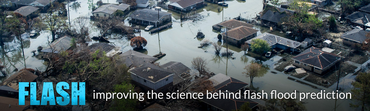
Flash floods are rapid increases of water in streams and creeks, typically in response to intense rainfall events, that pose significant hazards to motorists, recreationalists, and infrastructure worldwide. The small space-time scales associated with flash floods have made it challenging to predict the precise locations of impending rainfall and resultant impacts.

The Flooded Locations And Simulated Hydrographs Project (FLASH) was launched in early 2012 largely in response to the demonstration and real-time availability of high-resolution, accurate rainfall observations from the MRMS/Q3 project. FLASH introduces a new paradigm in flash flood prediction that uses the MRMS forcing and produces flash flood forecasts at 1-km/5-min resolution through direct, forward simulation. The primary goal of the FLASH project is to improve the accuracy, timing, and specificity of flash flood warnings in the US, thus saving lives and protecting infrastructure. The FLASH team is comprised of researchers and students who use an interdisciplinary and collaborative approach to achieve the goal.
From its inception, FLASH has been designed within an Ensemble Framework For Flash Flood Forecasting to accommodate multiple forcings from rainfall observations to stormscale NWP forecasts, multiple model structures and parameter settings, and newly developed techniques for yielding probabilistic outputs. In the first implementation, FLASH relies on rainfall forcing from MRMS/Q3 to the CREST model run with a priori, physically based parameters. All hydrologic forecast products are produced at the same 1-km/5-min resolution as the rainfall forcing.
The availability of long-term, gridded rainfall archives provides for retrospective hydrologic simulation. At each grid point, the time series of historic simulations are used to evaluate the rarity or severity of model forecasts.