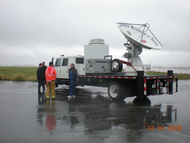
NSSL’s mobile radar team and the Shared Mobile Atmospheric Research and Teaching Radar arrived safely at the Bob Hope Airport in Burbank, California at the end of November. NSSL will supply real-time close-up radar data during rain events in areas where the radar beam is blocked by the terrain.
The data will be used in the demonstration flash flood and debris-flow early warning system – a NOAA and USGS project focused on finding ways to help forecasters improve flash flood and debris flow warnings.
The project started December 1, 2009 and may run through April 1, 2010. So far the team has had three periods of intense observation. The most recent data collection, on December 12-13, 2009, measured over 2.5 inches of rain during the observation period. A Flash Flood and Debris Flow warning was issued for the area.

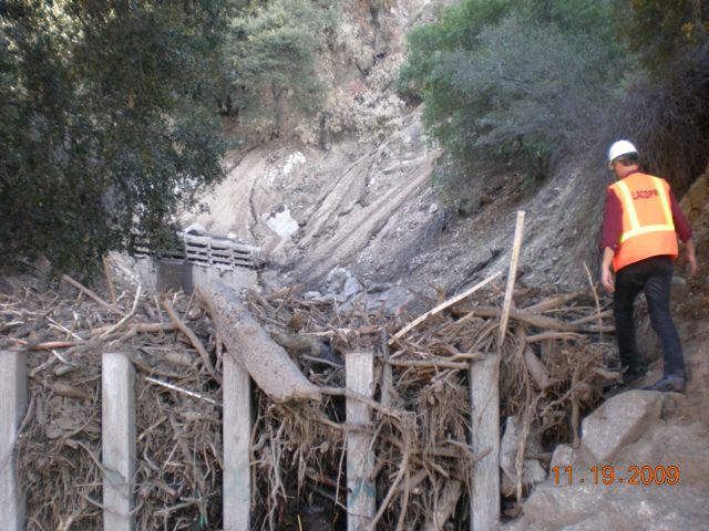
Areas damaged by wildfires are particularly susceptible to flash floods and debris flows during rainstorms. Rainfall that is normally absorbed by vegetation can run off almost instantly, causing creeks and drainage areas to flood much sooner during a storm, and with more water, than normal.


