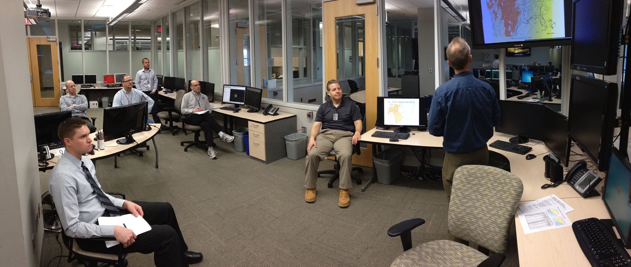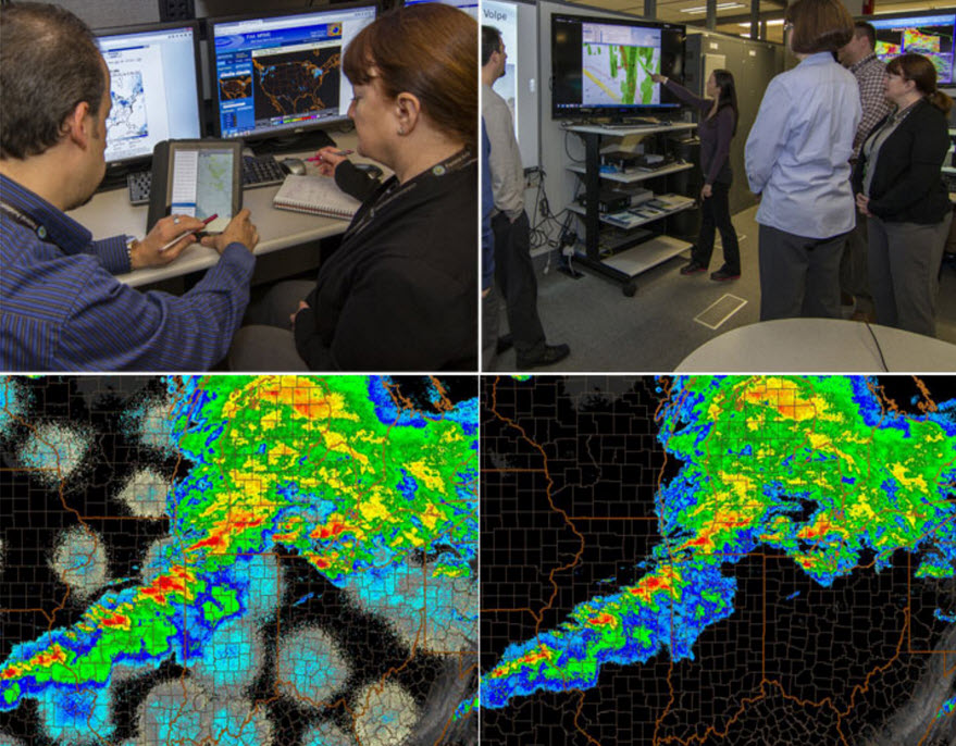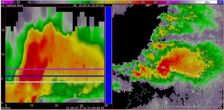
A team from NSSL completed the installation of NSSL’s real-time Multiple-Radar/Multiple-Sensor (MRMS) system at the FAA William J Hughes Technical Center in Atlantic City, N.J. last week.
The automated algorithms in MRMS quickly and intelligently integrate data streams from multiple radars, surface and upper air observations, lightning detection systems, satellite and forecast models. The MRMS system was developed to produce severe weather and precipitation products for improved decision-making capability within NOAA.
This system will be used to develop and test new aviation NextGen products in addition to advancing techniques in quality control, icing detection, and turbulence in collaboration with the National Center for Atmospheric Research, the University Corporation for Atmospheric Research, and Lincoln Laboratories.
The FAA Right Sizing project provided the hardware and funding resources to establish a MRMS system a William J Hughes Technical Center in Atlantic City. The RightSizing Project is a collaborative effort between the FAA, research laboratories and other government agencies to optimize the performance of the NextGen sensor systems and sensor networks and to understand, document and report on the complete range of current and alternative sensor technologies which may be fielded to support the NextGen National Airspace system.
The FAA is looking forward to the added capabilities the system brings to NSSL and FAA MOU objectives.
The MRMS system was jointly developed in cooperation with the Cooperative Institute for Mesoscale Meteorological Studies (CIMMS), and the University of Oklahoma retains the right to commercially license the software. Several leading weather information companies have previously licensed the MRMS system from the University of Oklahoma for commercial use, although the software is available for government at no cost.


