2011
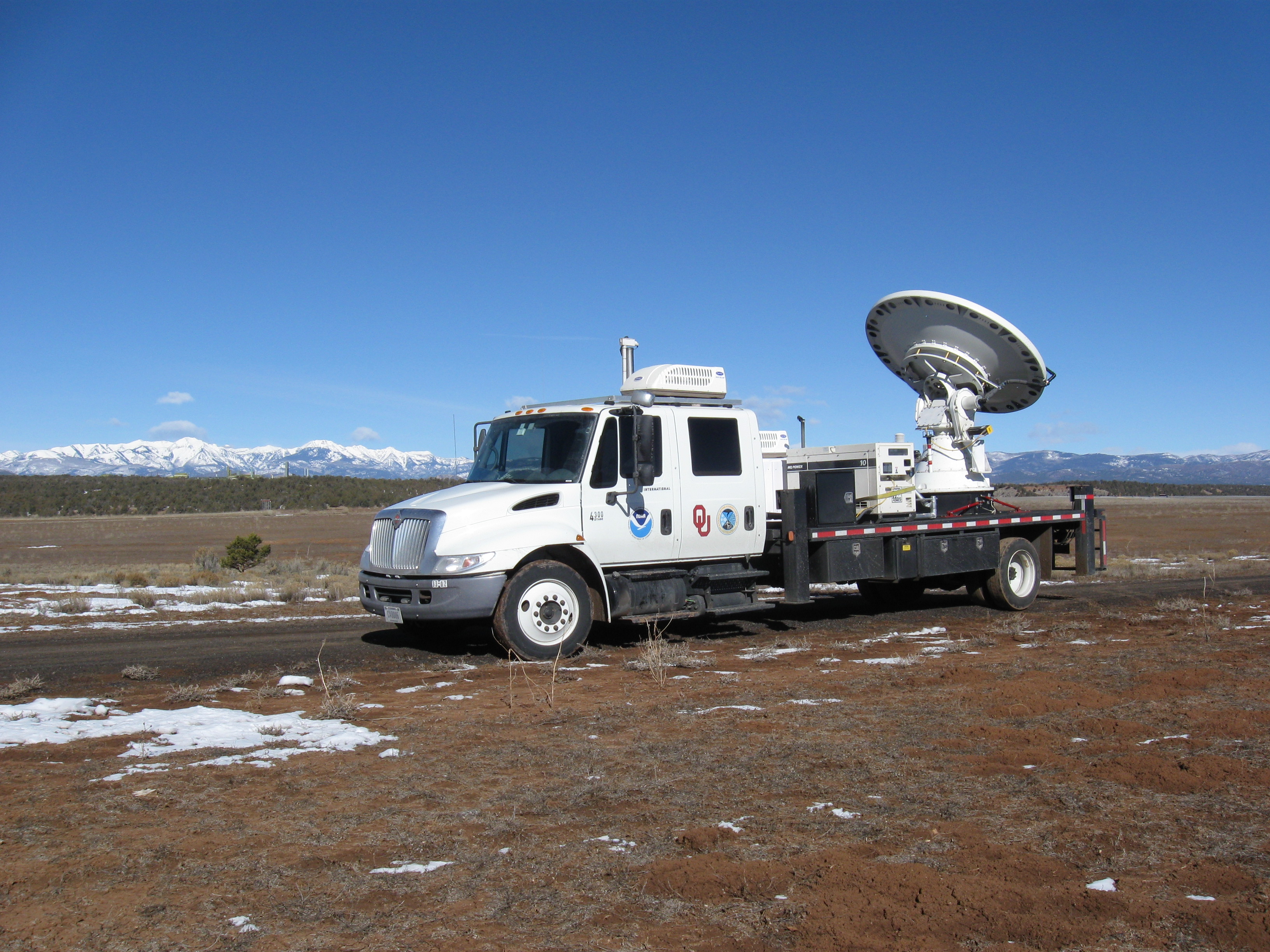
NSSL deploys a mobile radar to help with winter weather forecasts over southwest Colorado.
The first annual Warn-on-Forecast workshop was held in Norman.
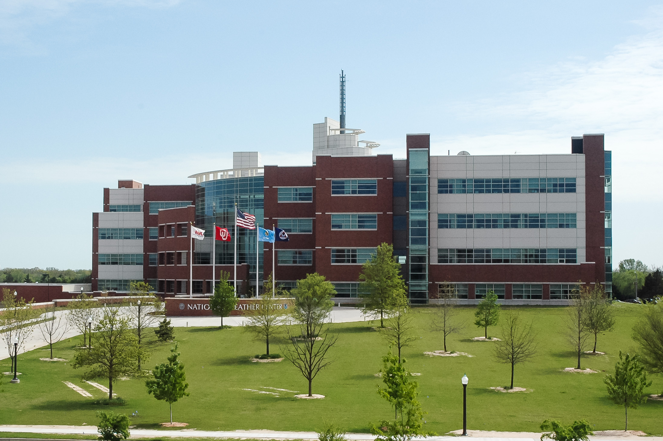
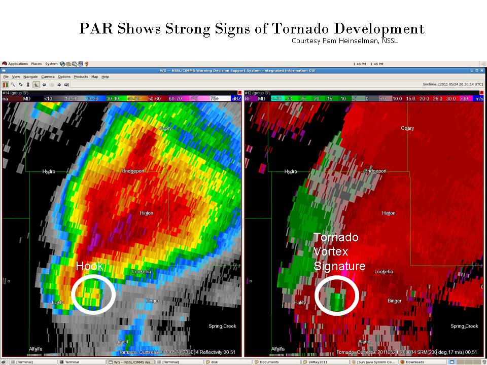
NSSL’s mobile radar scans the early and mature stages of the first tornado in an outbreak in central Oklahoma. A long track EF-4 tornado is captured by MPAR and tornadoes threaten the National Weather Center building.
NSSL launches the 2-Dimensional Video Disdrometer (2DVD) attached to a balloon to learn more about storm electricity and how it relates to different kinds of precipitation.
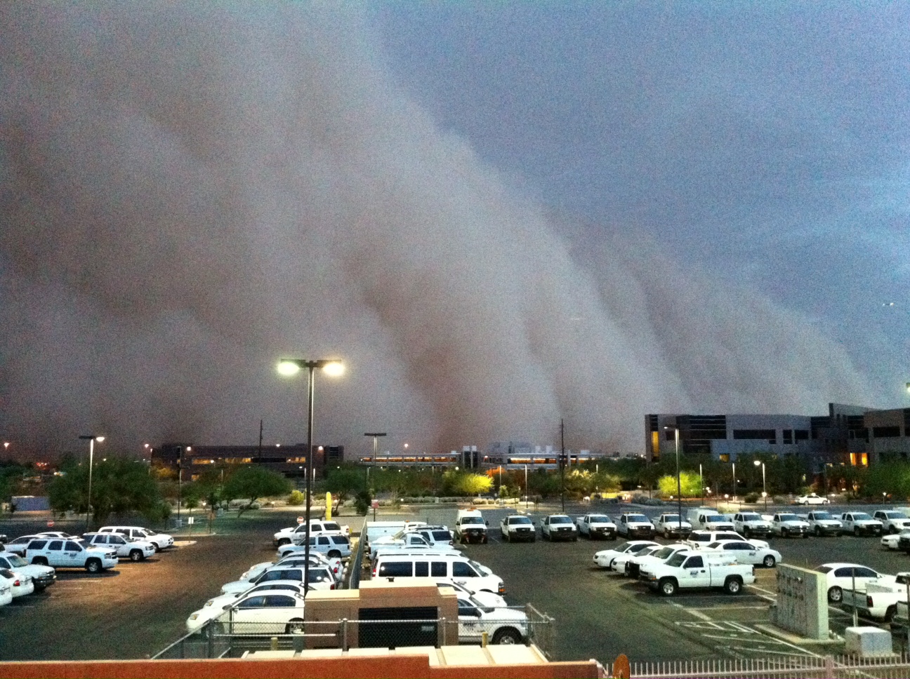
An NSSL algorithm helps alert a power company of the potential for a dust storm in Phoenix with 45 minutes advance notice.
NSSL deploys a mobile radar to collect data on dust storms in Arizona.
CI-FLOW accurately predicts flooding conditions in coastal North Carolina from Hurricane Irene.
The Department of Commerce awards NSSL’s Radar Research and Development Division a gold medal for “scientific and engineering excellence in adapting military phased array radar technology to improve U.S. weather radar capabilities.”
2012
NOAA researchers share the science of storms at the San Francisco Exploratorium science museum for two weeks as NOAA Scientists in Residence.
NSSL participates in the Deep Convective Clouds and Chemistry field experiment, a study of how thunderstorms impact the upper atmosphere.
The Oklahoma Lightning Mapping Array expands from eleven to eighteen sites to provide mapping of lightning channel segments over most of Oklahoma.
The Hydrological Cycle in the Mediterranean (HyMeX) is a 10-year international effort to better understand, quantify and model the hydrologic cycle in support of improved forecasts and warnings of flash floods in the region. NSSL ships a mobile radar to France to participate. It is the largest weather field project in European history.
The meteorological Phenomena Identification Near the Ground (mPING) mobile app was launched to crowdsource weather data.
2013
Mesoscale Predictability Experiment (MPEX). Researchers collected data on pre-storm and post-storm environments in an effort to better predict when and where thunderstorms will form.
Researchers collect data on tornadoes that struck within 30 miles of the laboratory and research radars.
2014
NSSL’s Multiple Radar Multiple Sensor system—a merging of NMQ and WDSS-II—went into NWS operations, providing information to NWS forecasters at unprecedentedly high spatial and temporal resolution over the continental United States and southern Canada.
NSSL celebrated its 50th anniversary.
2015
NOAA scientists tackled the mystery of nighttime thunderstorms in the Plains Elevated Convection At Night (PECAN) field experiment, an intensive campaign deploying instrumented aircraft, ground-based instruments, mobile radars, and weather balloons to collect data before and during nighttime thunderstorms in the western Great Plains, to learn what triggers these storms and how they impact lives, property, agriculture and the water budget in the region.
