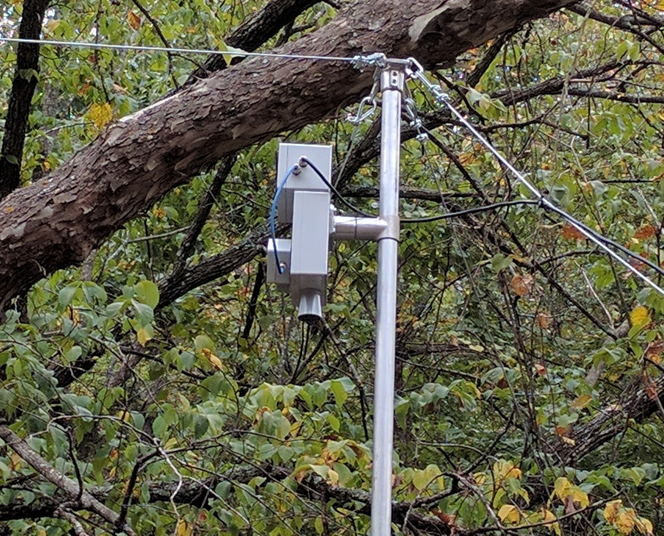
A new program supported by NOAA’s National Severe Storms Laboratory is testing the use of stream radar to provide better measurements of stream flow and improve flood forecasting. The project, led by electronics engineer Daniel Wasielewski with the University of Oklahoma’s Cooperative Institute for Mesoscale Meteorological Studies, began in October 2016 and will span two years. NSSL research hydrologist JJ Gourley is collaborating, along with Edward Clark from NOAA’s National Water Center and John Fulton with the United State Geological Survey.
The stream radar project was borne out of a need for improved river monitoring. NOAA’s National Water Model, which became operational in June 2016, forecasts river conditions at substantially more locations than had previously been possible. The United States Geological Survey operates roughly 7,800 stream gauges in the United States, with observations critical to informing forecasters, who rely on the data to verify flood projections. Stream radars are less likely to be lost during a flood, and also have less stringent requirements for annual maintenance, power, and access. Stage and velocity levels calculated by radars will be assimilated into the NWM, and serve as additional verification points for hydrologic forecasts.
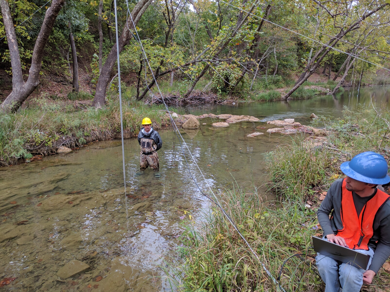
The NSSL/OU research team plans to install 14 stream radars on cables or bridges across rivers at predetermined, high-priority locations. Installations will take place through 2017, with results expected in early- to mid-2018. To support retrievals performed by stream radars, NSSL will also provide in-house development of a scanning lidar to produce bathymetric measurements.
Earlier this week, NOAA Research announced it would invest $6 million in programs to improve severe weather and water hazards forecasting. The stream radar program is included in this initiative, marking a significant breakthrough in NOAA’s research-to-operations efforts.
To learn more:
http://go.usa.gov/xkf8j


