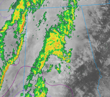
A couple of lines of showers have passed through, and the atmosphere has stayed stable. However, very recent surface observations indicate that we may be getting close to having surface-based CAPE. This means that a parcel of air rising from the ground will begin ascending buoyantly fairly close to the ground. Our soundings show that the shear from 0-500 m above the ground is about 45 kt which should be supportive of low-level rotation.
The next line of storms is just moving into far NW AL. Part of this line exhibited some broad rotation recently.
It seems that we may be about to have a transition to more interesting convection with the development of small amounts of surface-based CAPE.
Here’s a recent radar and satellite image from the College of DuPage site: