
I am blogging from the SWIRLL facility at UA-Huntsville.
We came in this morning for a 10 AM meeting, expecting to design a clear-air boundary layer study to look at land use/land cover variations, and lake breeze effects in the area west of Huntsville. The model guidance from yesterday generally showed our area too stable for storms.
But (there’s always a BUT in VORTEX-SE)… this morning the HRRR model showed rotating storms developing over our research domain in the early afternoon. This forecast has persisted for the last 4-5 hours at least, with consistent forecasts of rotating updrafts moving across our western observing area.
So, we adapted by quickly moving one sounding unit and one radar further west in case these storms form. If we don’t have storm initiation in the next hour or so, we will bring these two units back closer to Huntsville, and do the “clear-air” experiment for the rest of the day.
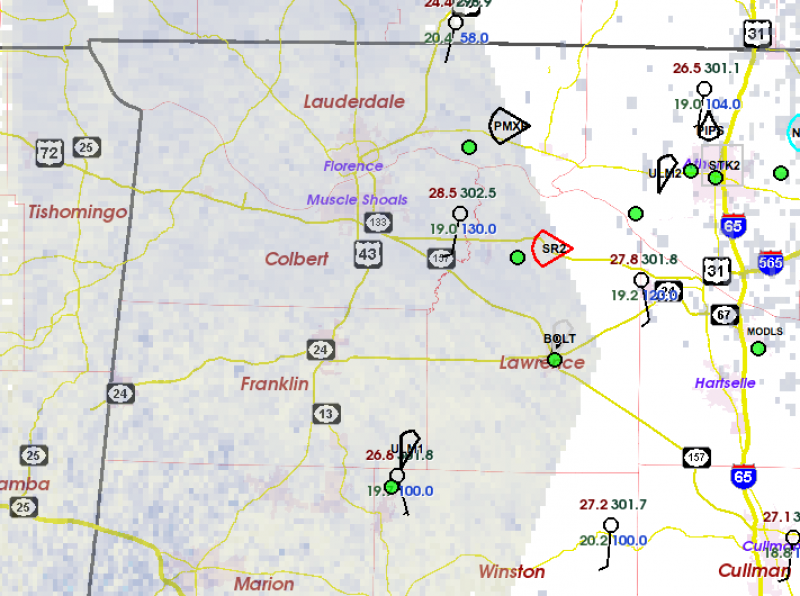
Our two western-most mobile radars are SR2 and PMXP, and their “dual-Doppler” coverage extends west out across the Florence/Muscle Shoals area. Dual-Doppler means that the along-beam velocity from each radar can be combined geometrically to compute the actual wind direction and speed at every point seen by the two radars. The uncertainty in this wind computation is smallest when the two radar beams cross at large angles, and the wind becomes very uncertain as the two beam directions get closer together.
Tomorrow there will probably be no observing in the VORTEX-SE domain. Sunday continues to look like an active day. But if we have learned anything this year, it’s that these strong systems have a variety of “failure modes”. They typically look very promising for severe weather for several days leading up to the event, and then something goes awry and no/few tornadic storms occur.